During winter, mountains gain mass because of snow covering the peaks. In spring, the snow melts and flows downstream until it reaches the ocean or evaporates into the atmosphere to reach back on the surface as rain or snow. The global water cycle is very complex and essential for life on our planet. Did you know we can measure how the water is distributed by measuring its mass from space? How can ...[Read More]
Bits and Bites of Geodesy – Satellite Gravimetry: Studying Earth’s water cycle from space
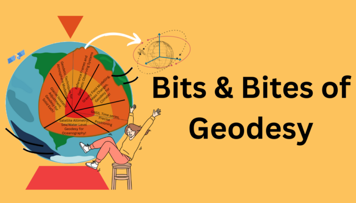
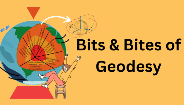
Figure courtesy: Öykü Koç