Getting the small g (the absolute gravity value) outdoors has always been some sort of a challenge. But, in the early 2000s the possibility to measure gravity has changed by the arrival of the first A10 absolute gravimeters. They to a large extent revolutionized the approach of performing gravity measurements in the open field and with that improved the approach to design and measure national grav ...[Read More]
Geodesists on Tour: On the left side of the road for getting the g
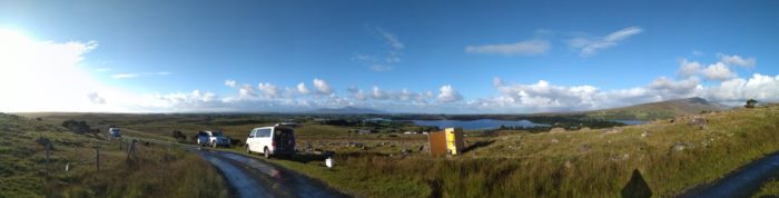
A10-020 absolute gravimeter a gravity station near Newport (Ireland).