ERE
Energy, Resources and the Environment

Energy, Resources and the Environment

Living with water: A closer look at deltas

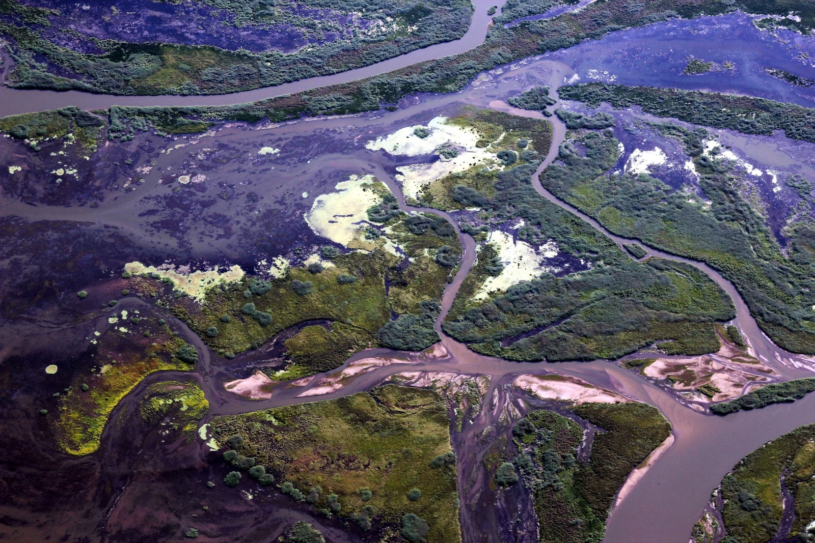
Where the Selenga River meets the Lake Baikal.  Credit:  Galina Shinkareva  (distributed via imaggeo.egu.eu)

Where the Selenga River meets the Lake Baikal. Credit: Galina Shinkareva (distributed via imaggeo.egu.eu

Costal deltas often host large cities due to their prime location of where rivers meet the sea. In many cases these areas have been protected from rising sea levels and flooding rivers by engineered ‘gray’ infrastructure. However, this infrastructure appears to only protect these cities on short timescales. Engineered deltas contribute to relative sea level rise, caused by shrinking land masses in these areas due to sediment loss. Thus, this gray infrastructure appears to cause long term sustainability problems for some of the largest cities in the world. In the August 7th edition of Science Temmerman and Kirwan explore green alternatives to traditional gray infrastructure that have the potential to restore natural wetlands to delta areas, increasing land area and provide flood protection. In the same issue, Tessler et al. explore the economic costs of conventional delta engineering along with the long term environmental and sustainability impacts of gray infrastructure.

Kristen MitchellDr. Kristen Mitchell is an experienced geoscientist and marine chemist with specific experience promoting educational outreach and fundraising initiatives in support of science-specific policy and research. She works with policy makers, commercials entities, and universities to educate and inform their communities of the importance of crafting sustainable solutions. She has worked with key players across the world to execute plans and deliver results related to my scientific studies and projects. For more information, you can contact her at drkristenmitchell@gmail.com, or follow her Tweets @dr_kmitchell.
Living with water: Water management infrastructure

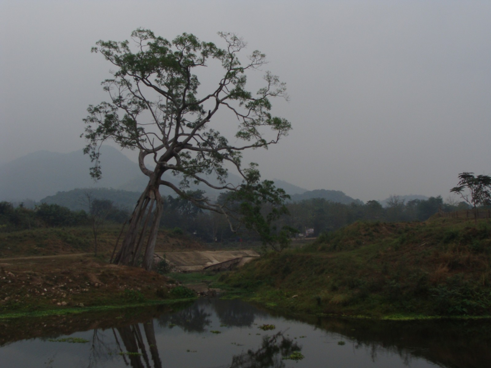
Irrigation dam Ban Bo Wi, Thailand.Credit:  Sarah Garré (distributed via imaggeo.egu.eu)

Irrigation dam Ban Bo Wi, Thailand.
Credit: Sarah Garré (distributed via imaggeo.egu.eu)

Keeping water out is only half of the battle. Making water available to communities is the other half of the battle. Engineered structures have the ability to do both, dams and dikes can keep flood waters out and they can also divert water to large metropolises and irrigate agricultural lands. But even countries like The Netherlands, which is known for its world class water management engineering, are examining their use of this built infrastructure to make way for ‘green’ infrastructure. Green infrastructure, which can provide more flexible and more cost effective water management strategies while maintaining a larger proportion of natural features, is being investigated for its efficacy in both developed and developing nations. Science, in its second of three debates on water management policies explores the positives and negatives both of gray and green infrastructure in the Policy Forum: Water security: Gray or green?

Kristen MitchellDr. Kristen Mitchell is an experienced geoscientist and marine chemist with specific experience promoting educational outreach and fundraising initiatives in support of science-specific policy and research. She works with policy makers, commercials entities, and universities to educate and inform their communities of the importance of crafting sustainable solutions. She has worked with key players across the world to execute plans and deliver results related to my scientific studies and projects. For more information, you can contact her at drkristenmitchell@gmail.com, or follow her Tweets @dr_kmitchell.

Words on Wednesday: Using historical hydrology to lengthen flood records of rare and extreme events

Words on Wednesday aims at promoting interesting/fun/exciting publications on topics related to Energy, Resources and the Environment. If you would like to be featured on WoW, please send us a link of the paper, or your own post, at ERE.Matters@gmail.com.
***
Benito, G., Brázdil, R., Herget, J., and Machado, M. J.: Quantitative historical hydrology in Europe, Hydrol. Earth Syst. Sci., 19, 3517-3539, doi:10.5194/hess-19-3517-2015, 2015.
***

Abstract:

In recent decades, the quantification of flood hydrological characteristics (peak discharge, hydrograph shape, and runoff volume) from documentary evidence has gained scientific recognition as a method to lengthen flood records of rare and extreme events. This paper describes the methodological evolution of quantitative historical hydrology under the influence of developments in hydraulics and statistics.

In the 19th century, discharge calculations based on flood marks were the only source of hydrological data for engineering design, but were later left aside in favour of systematic gauge records and conventional hydrological procedures. In the last two decades, there has been growing scientific and public interest in understanding long-term patterns of rare floods, in maintaining the flood heritage and memory of extremes, and developing methods for deterministic and statistical application to different scientific and engineering problems.

A compilation of 46 case studies across Europe with reconstructed discharges demonstrates that (1) in most cases present flood magnitudes are not unusual within the context of the last millennium, although recent floods may exceed past floods in some temperate European rivers (e.g. the Vltava and Po rivers); (2) the frequency of extreme floods has decreased since the 1950s, although some rivers (e.g. the Gardon and Ouse rivers) show a reactivation of rare events over the last two decades. There is a great potential for gaining understanding of individual extreme events based on a combined multiproxy approach (palaeoflood and documentary records) providing high-resolution time flood series and their environmental and climatic changes; and for developing non-systematic and non-stationary statistical models based on relations of past floods with external and internal covariates under natural low-frequency climate variability.


Words on Wednesday: Developing El Niño could bring rain to drought-stricken California

Words on Wednesday aims at promoting interesting/fun/exciting publications on topics related to Energy, Resources and the Environment. If you would like to be featured on WoW, please send us a link of the paper, or your own post, at ERE.Matters@gmail.com.

***

A recent Nature News Explainer by Chris Cesare describes how forecasters with the US National Oceanic and Atmospheric Administration (NOAA) say that the El Niño weather pattern developing in the Pacific Ocean could eventually rank among the strongest on record and could bring rain to California.

Cesare, C. 2015. Developing El Niño could be strongest on record:Event could bring rain to drought-stricken California and dry conditions to Australia. Nature News:Explainer. http://www.nature.com/news/developing-el-ni%C3%B1o-could-be-strongest-on-record-1.18184

Cesare writes that a strong El Niño — signalled by the periodic warming of ocean-surface temperatures in the equatorial Pacific — can lead to heavy rain in parts of North America and drier-than-normal conditions in Australia, Indonesia and parts of India. NOAA says that there is an 85% chance that the current El Niño will last through the first few months of next year, with its strength peaking in November or December.

If ocean-surface temperatures in the Niño-3.4 region (in the eastern equatorial Pacific) are between 0.5 to 1 °C above average during a three-month window, NOAA declares a weak El Niño. Forecasters label an El Niño as strong if it exceeds the average by 1.5 °C. NOAA projects that the current event could produce temperatures that are 2 °C higher than average, or more. The strongest El Niño on record occurred in 1997–98 and produced temperatures 2.3 °C above average.

This year the El Niño started unusually early — in March instead of June. This could be because warm waters left over from last year’s weak El Niño gave it a head start – this would be the second El Niño year in a row, following the weak El Niño that developed late last year. A similar El Niño double-header happened between 1986 and 1988, but forecasters predict that the current El Niño will become stronger than either of those two events.

Elevated ocean surface temperatures in the eastern Pacific Ocean are a sign of El Niño. Image from http://www.nature.com/news/developing-el-ni%C3%B1o-could-be-strongest-on-record-1.18184, originally from NOAA

Importantly, El Niño could offer some relief to the US state of California, which is now in the fourth year of a historic drought. Forecasters say that there is a good chance that southern California will receive more rainfall than usual throughout the winter. In the past, very strong El Niños have also soaked the central and northern parts of the state. Although this is unlikely to “erase four years of drought”.