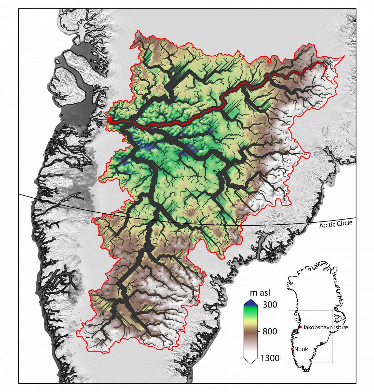
Geomorphological maps are a fundamental tool to represent landforms and understand how different morphological elements and agents shaped a natural landscape. They are also important as background information for many fields of research including ecology, forestry and of course, glaciology. In this week’s blog, Levan Tielidze tells us about the importance of mapping glacial geomorphology, presenti ...[Read More]
The new glacial geomorphological map from New Zealand
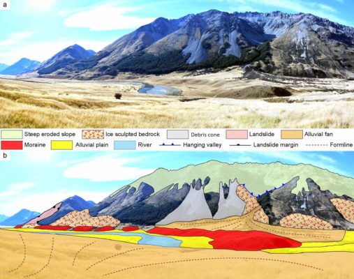
Glacial geomorphological mapping comparison in 3D. a - Moraine ridge in the middle section of the Ahuriri River valley with surrounding area. b - Key landscape elements are shown in the accompanying sketch. (Credit: Tielidze et al., 2021).