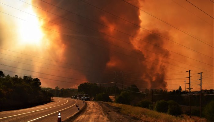
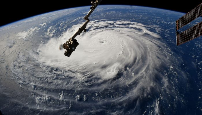
The end of the Northern hemisphere summer tends to be a good time to regroup from natural hazards, as the frequency and intensity of storms, as well as the incidence of wildfires, tends to trail off. At the time of writing, however, Hurricane Willa had just crashed into Mexico, while Typhoon Yutu has just hit the Northern Mariana Islands so hard that any equipment designed to record wind-speed had ...[Read More]
September GeoRoundUp: the best of the Earth sciences from around the web
Drawing inspiration from popular stories on our social media channels, major geoscience headlines, as well as unique and quirky research, this monthly column aims to bring you the latest Earth and planetary science news from around the web. Major stories This month has been a whirlwind of Earth and space science news; the majority focusing on natural hazards. Powerful cyclones, earthquakes, and ts ...[Read More]
Imaggeo on Mondays: Aerosols over Hurricane Irene
This image – rather than our usual Imaggeo photo – is a simulation representation of Hurricane Irene, as it moved up the coast of the United States. The red-yellow areas in the image represent regions with high aerosol concentration that have been swept upwards in convective clouds and the blue areas are clean regions. The aerosols enter Irene along rain bands, before being wrapped into the centre ...[Read More]