GeoLog

seismometers

Weathering the storm from a research vessel

Weathering the storm from a research vessel

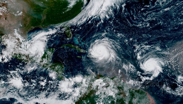
Fieldwork can take geoscientists to some of the most remote corners of the Earth in some of the harshest conditions imaginable, but stories from the field hardly make it into a published paper. 
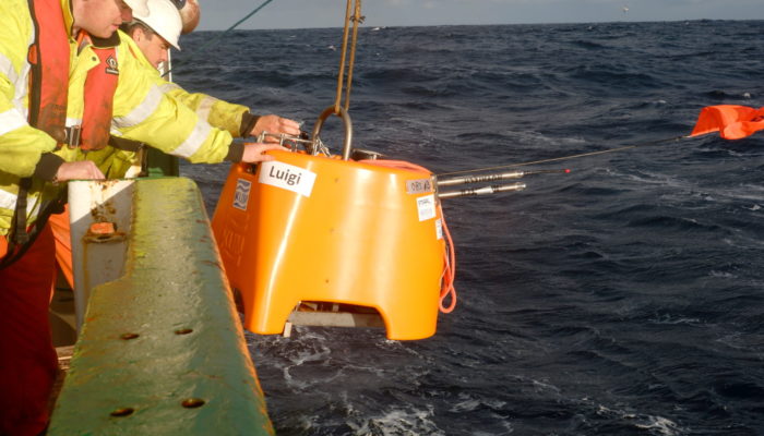
In this blog post, Raffaele Bonadio, a PhD student in seismology at the Dublin Institute for Advanced Studies in Ireland, shares a particularly formidable experience in the field while aboard a research ves ...[Read More]

Is it an earthquake, a nuclear test or a hurricane? How seismometers help us understand the world we live in

Is it an earthquake, a nuclear test or a hurricane? How seismometers help us understand the world we live in

Although traditionally used to study earthquakes, like today’s M 8.1 in Mexico,  seismometers have now become so sophisticated they are able to detect the slightest ground movements; whether they come from deep within the bowels of the planet or are triggered by events at the surface. But how, exactly, do earthquake scientists decipher the signals picked up by seismometers across the world? And mo ...[Read More]

Imaggeo on Mondays: Sediments make the colour

Imaggeo on Mondays: Sediments make the colour

Earth is spectacularly beautiful, especially when seen from a bird’s eye view. This image, of a sweeping pattern made by a river in Iceland is testimony to it. The picture shows river Leirá which drains sediment-loaded glacial water from the Myrdalsjökull glacier in Iceland. Myrdalsjökull glacier covers Katla, one of Iceland’s most active and ice-covered volcanoes. A high sediment load (the suspen ...[Read More]