GeoLog

remote sensing

Imaggeo On Monday: Watercolors- Nature’s talent
Imaggeo On Monday: Watercolors- Nature’s talent
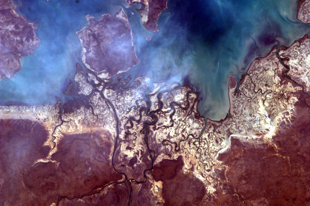
The photo was taken from the International Space Station (ISS), approx. 400 km above the Earth, in the educational project administered by NASA: Sally Ride EarthKAM, Mission 59, November 2017. The image was requested by a team of students from my college, coordinated by me. Even though we weren’t there, on ISS, to trigger the …[Read More]

Imaggeo on Mondays: Plate it up – a recipe for sea ice errors

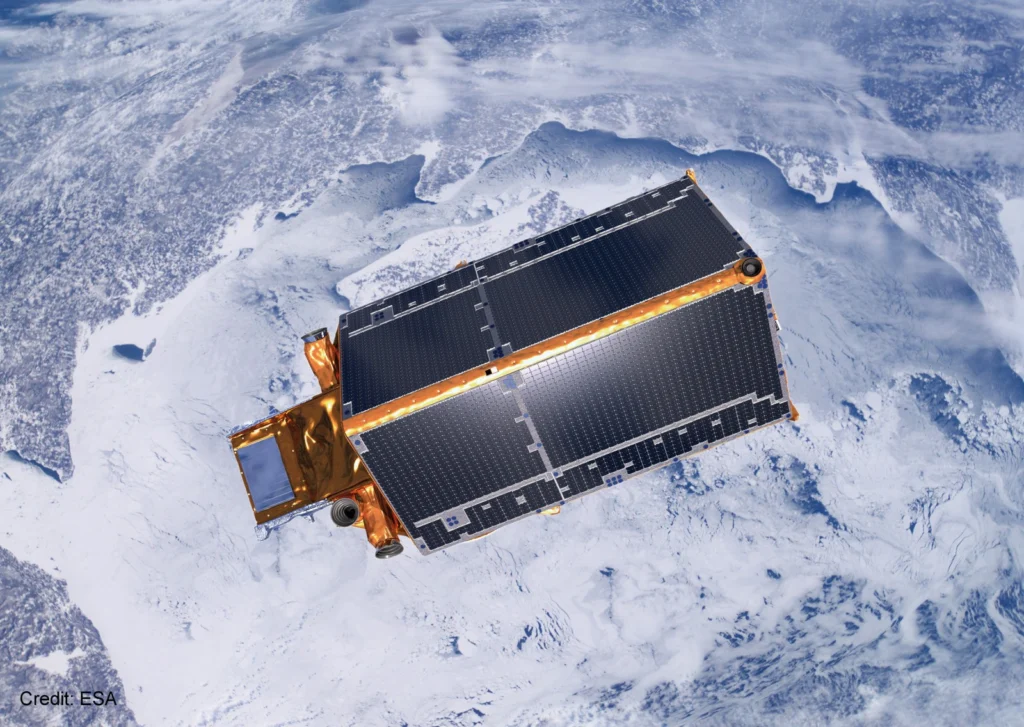
Last week, a team of cryospheric scientists published a paper in The Cryosphere that showed how tiny plates of ice can lead to spurious estimates of sea ice thickness. This week, we’re featuring their findings, as well as some spectacular sea ice images in the latest in our Imaggeo on Mondays series… Viewing the poles from above is …[Read More]

GeoTalk: Yagmur Derin on posters and precipitation

This week in GeoTalk, we’re talking to Yagmur Derin, a masters student from Middle East Technical University, Turkey. She tells us about the intersecting fields of hydrology, climate science and remote sensing, and what it’s like to take the plunge and present your first poster at an international conference. Firstly, can you introduce yourself and …[Read More]