The picture was taken at a hillslope close to the glacier tongue of the Great Aletsch Glacier, the largest glacier in the Alps. With a length of 23 km it is located in the eastern Bernese Alps of Switzerland and composed of the three smaller glaciers Aletschfirn, Jungfraufirn and Eternal snow field converging at Concordia where the ice thickness was measured to be around 900m. The whole area was d ...[Read More]
Imaggeo on Mondays: Flying Rocks
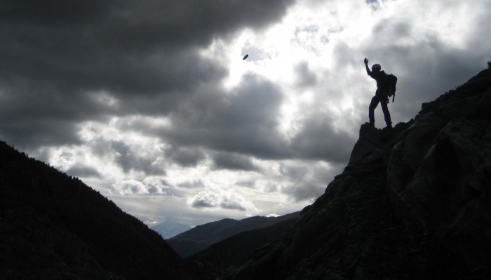
Flying Rocks . Credit: Franziska Glueer (distributed via imaggeo.egu.eu)