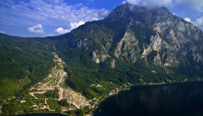
From the top of a small gully in the French Alps, a 472 kg block is launched into the chasm. Every detail of it’s trajectory down the slope is scrutinised by two cameras and a network of seismometers. They zealously record every bounce, scrape and tumble – precious data in the quest to better understand landslides. What makes landslides tick? In 2016, fatalities caused by landslides tipped 2 ...[Read More]
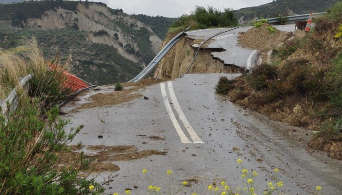
Imaggeo on Mondays: The road to nowhere – natural hazards in the Peloponnese
The Gulf of Corinth, in southern Greece, separates the Peloponnese peninsula from the continental mainland. The structural geology of the region is complex, largely defined by the subduction of the African Plate below the Eurasian Plate (a little to the south). The Gulf itself is an active extensional marine basin, i.e., one that is pulling open and where sediments accumulate. Sedimentary basins r ...[Read More]
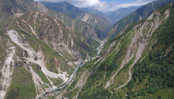
When mountains collapse…
Jane Qiu, a grantee of the Pulitzer Center on Crisis Reporting, took to quake-stricken Nepal last month — venturing into landslide-riddled terrains and shadowing scientists studying what makes slopes more susceptible to failure after an earthquake. The journey proved to be more perilous than she had expected. What would it be like to lose all your family overnight? And how would you cope? It’s wit ...[Read More]
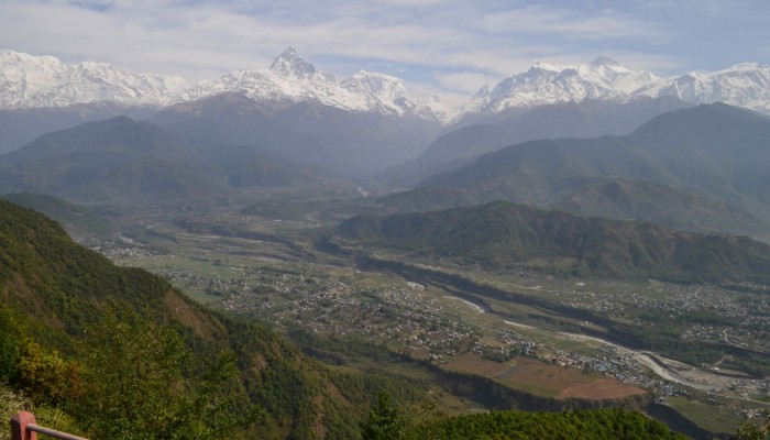
Geosciences Column: An international effort to understand the hazard risk posed by Nepal’s 2015 Gorkha earthquake
Nine months ago the ground in Nepal shook, and it shook hard: on April 25th 2015 the M7.8 Gorkha earthquake struck and was followed by some 250 aftershocks, five of which were greater than M 6.0. The devastation left behind in the aftermath of such an event, and how to coordinate disaster-relief efforts in a vast, mountainous region, is difficult to imagine. Yet, this December at the 2015 AGU Fall ...[Read More]