GeoLog

landslides

Imaggeo On Monday: Tragédia em Petropolis (Brazil)
Imaggeo On Monday: Tragédia em Petropolis (Brazil)
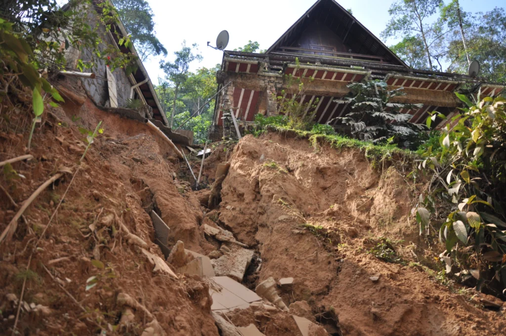
A series of deadly landslides and debris flows occurred in March 2013 in Petropolis, a municipality in the Brazilian state of Rio de Janeiro. This photo has been shot a little more than a month later. It highlights the important “supporting role” played by sewer pipes in this disaster. Description by Michele Calvello, after the description on imaggeo.egu.eu.   Imaggeo is the EGU’s ...[Read More]

Taking the pulse of an extreme landscape

Taking the pulse of an extreme landscape

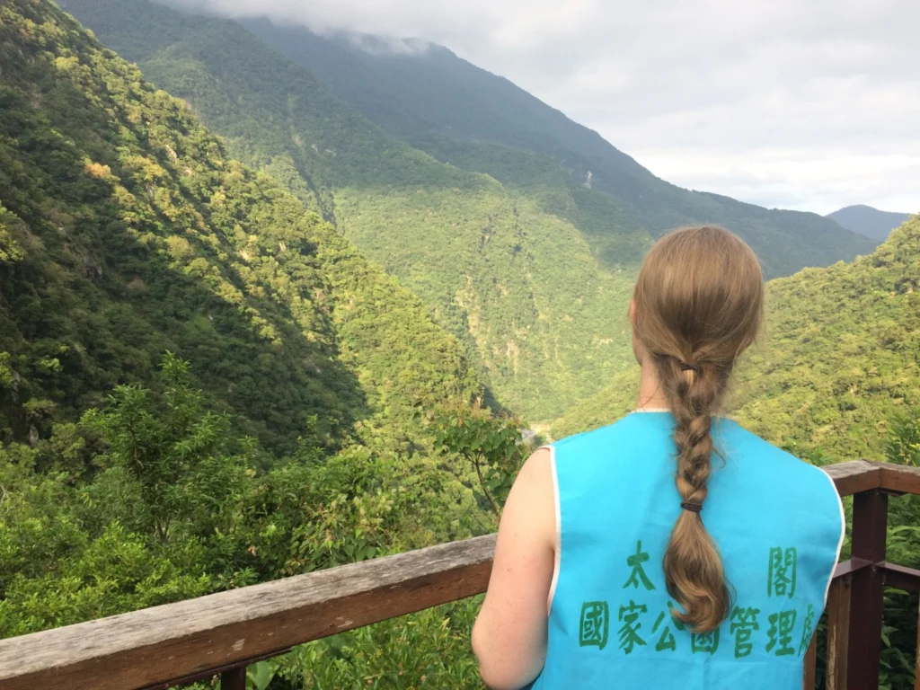
Welcome to Taroko National Park. Would you like to borrow a safety helmet? In this precipitously steep landscape, covering one’s head is strongly encouraged. Rockfalls and landslides, triggered by frequent seismic activity and torrential rainfall, are mainstays in Taiwan’s preeminent national park. Evidence of this mass-wasting is everywhere: roadways are littered with fallen rocks, boulders choke ...[Read More]

Imaggeo on Mondays: Civita di Bagnoregio – the dying town

Imaggeo on Mondays: Civita di Bagnoregio – the dying town

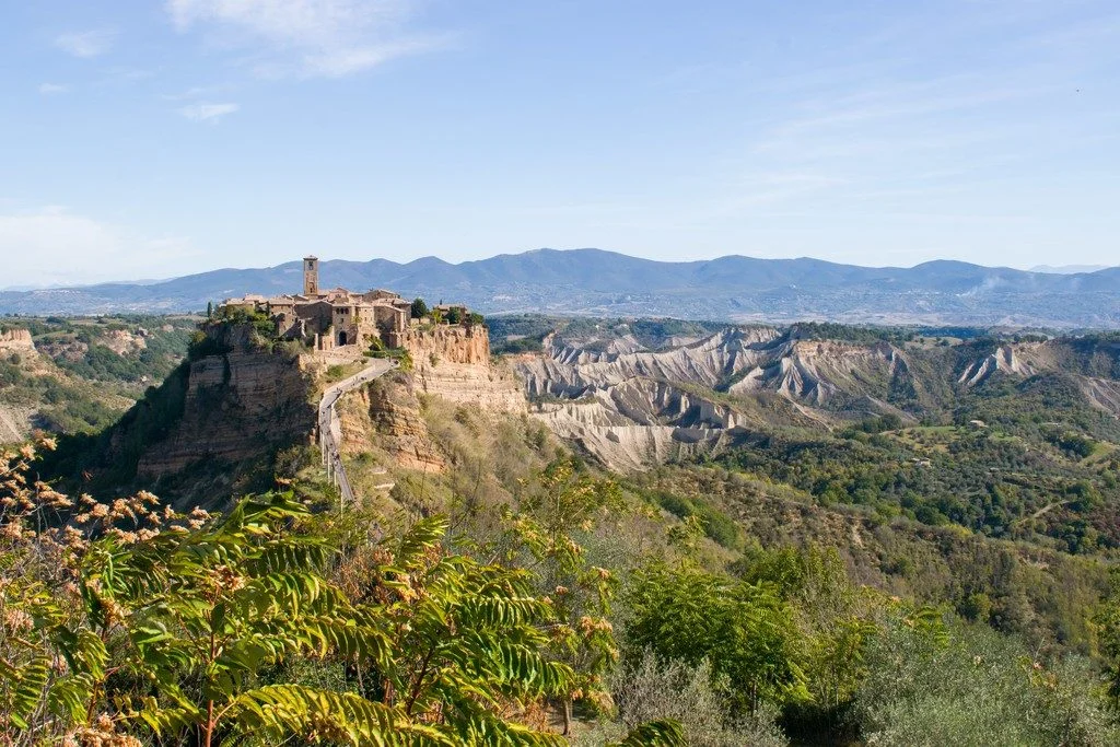
On top of a steep cliff standing out from the surrounding countryside, lies the small town of Civita di Bagnoregio, one of the most famous villages of Italy. It is often called the dying town, although more recently people have started to refer to it as fighting to live. What this little town is fighting against is the threat of erosion, as its walls are slowly crumbling down. Located in central I ...[Read More]

September GeoRoundUp: the best of the Earth sciences from around the web

September GeoRoundUp: the best of the Earth sciences from around the web

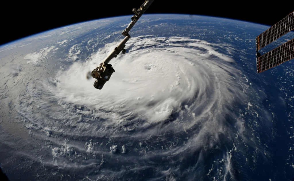
Drawing inspiration from popular stories on our social media channels, major geoscience headlines, as well as unique and quirky research, this monthly column aims to bring you the latest Earth and planetary science news from around the web. Major stories This month has been a whirlwind of Earth and space science news; the majority focusing on natural hazards. Powerful cyclones, earthquakes, and ts ...[Read More]

August GeoRoundUp: the best of the Earth sciences from around the web

August GeoRoundUp: the best of the Earth sciences from around the web

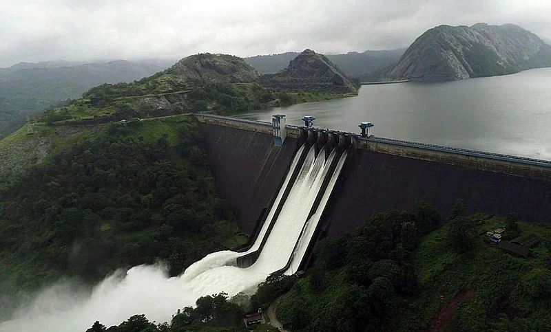
Drawing inspiration from popular stories on our social media channels, major geoscience headlines, as well as unique and quirky research, this monthly column aims to bring you the latest Earth and planetary science news from around the web. Major story The south Indian state of Kerala has suffered unusually heavy monsoon rainfall this month, triggering the worst flooding the state has seen in more ...[Read More]

Geosciences Column: Landslide risk in a changing climate, and what that means for Europe’s roads

Geosciences Column: Landslide risk in a changing climate, and what that means for Europe’s roads

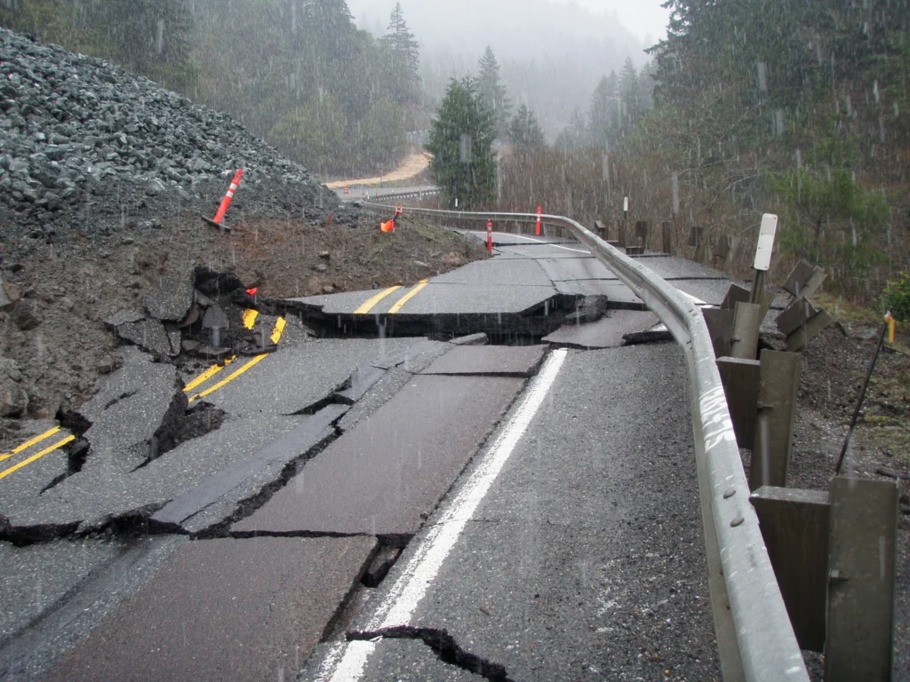
If your morning commute is already frustrating, get ready to buckle up. Our climate is changing, and that may increasingly affect some of central Europe’s major roads and railways, according to new research published in the EGU’s open access journal Natural Hazards and Earth System Sciences. The study found that, in the face of climate change, landslide-inducing rainfall events will increase in fr ...[Read More]

Geosciences Column: Extreme snowfall potentially worsened Nepal’s 2015 earthquake-triggered avalanche

Geosciences Column: Extreme snowfall potentially worsened Nepal’s 2015 earthquake-triggered avalanche

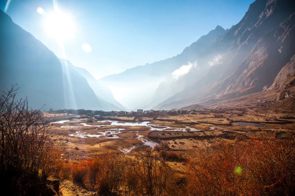
Three years ago, an earthquake-induced avalanche and rockfalls buried an entire Nepalese village in ice, stone, and snow. Researchers now think the region’s heavy snowfall from the preceding winter may have intensified the avalanche’s disastrous effect. The Langtang village, just 70 kilometres from Nepal’s capital Kathmandu, is nestled within a valley under the shadow of the Himalayas. The town wa ...[Read More]

Imaggeo on Mondays: Mount Elgon, a balance between fertility and destruction

Imaggeo on Mondays: Mount Elgon, a balance between fertility and destruction

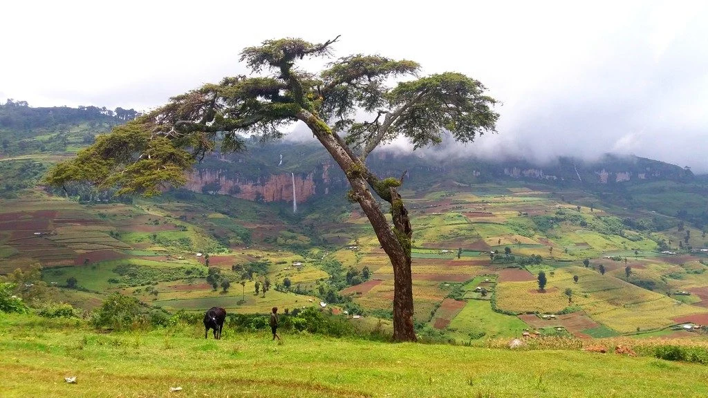
This colourful cropland patchwork is located on the fertile flanks of Mount Elgon, Uganda at an elevation of 2,400 metres above sea level. The extinct shield volcano, the oldest in East Africa, is mostly covered in clouds and provides an infinite flow of wonderful waterfalls. Due to the climate at this elevation, the cultivated crops experience more temperate weather conditions compared to crops m ...[Read More]

GeoSciences Column: Can seismic signals help understand landslides and rockfalls?

GeoSciences Column: Can seismic signals help understand landslides and rockfalls?

From the top of a small gully in the French Alps, a 472 kg block is launched into the chasm. Every detail of it’s trajectory down the slope is scrutinised by two cameras and a network of seismometers. They zealously record every bounce, scrape and tumble – precious data in the quest to better understand landslides. What makes landslides tick? In 2016, fatalities caused by landslides tipped 2 ...[Read More]

Imaggeo on Mondays: The road to nowhere – natural hazards in the Peloponnese

Imaggeo on Mondays: The road to nowhere – natural hazards in the Peloponnese

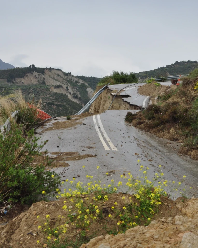
The Gulf of Corinth, in southern Greece, separates the Peloponnese peninsula from the continental mainland. The structural geology of the region is complex, largely defined by the subduction of the African Plate below the Eurasian Plate (a little to the south). The Gulf itself is an active extensional marine basin, i.e., one that is pulling open and where sediments accumulate. Sedimentary basins r ...[Read More]