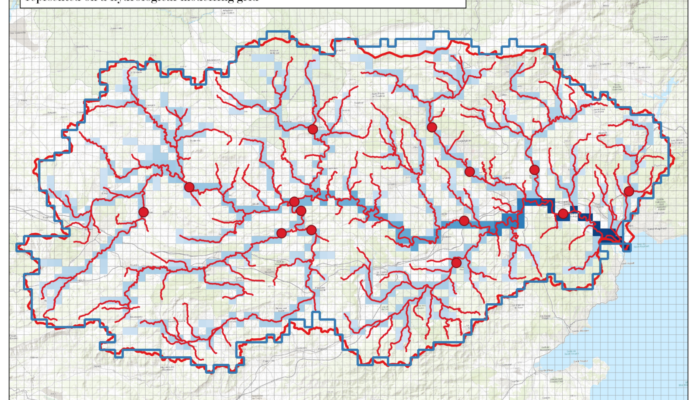
Do you know how scientists predict and analyse river flows using computer models? In this blog, Juliette Godet explores the tricky task of matching real-world river measurement points to grid cells in these models. Picture a giant digital map of a river basin, divided into grid squares, and a real-life gauge that measures river flow at a specific point. The job is to figure out which grid cell bes ...[Read More]
Imaggeo on Mondays: The polje between sky and Earth

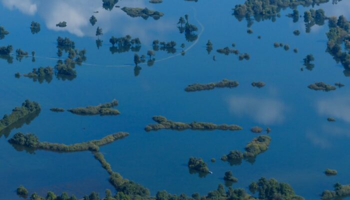
Poljes are one of the most impressive features existing in karst landscapes. These large flat closed depressions are prone to regular flooding that can form temporary lakes on their surface. Planinsko Polje [in Slovenia] is surely the most famous example of polje existing. The highest floods can reach up to 8 metres above the gauging station and last for more than two months. The lake is then more ...[Read More]
Groundwater springs harbour hidden viruses

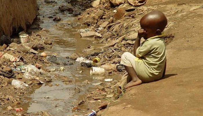
In many parts of Sub-Saharan Africa, groundwater springs are a vital, precious source of water. They are also a reservoir of disease. Research presented at the European Geosciences Union General Assembly in Vienna reveals that groundwater reservoirs in Ghana, Tanzania and Uganda contain diverse communities of viruses – including those that present a risk to human health. The work, carried out by I ...[Read More]
Geosciences Column: Flooded by jargon

When hydrologists and people of the general public use simple water-related words, are they actually saying the same thing? While many don’t consider words like flood, river and groundwater to be very technical terms, also known as jargon, water scientists and the general public can actually have pretty different definitions. This is what a team of researchers have discovered in recent study, and ...[Read More]

