Hello Elisa! Thank you for agreeing to this GeoTalk interview. Could you briefly introduce yourself and your background to our readers? Hello, and thank you for having me. My name is Elisa Nobile and I recently completed my PhD at IUSS Pavia, in Italy. My background is in engineering for the mitigation of risk from natural hazards, and during my studies I quickly became interested in the impacts o ...[Read More]
flooding
Thirty years after Biescas: Rethinking alluvial fan flooding and infrastructure failure
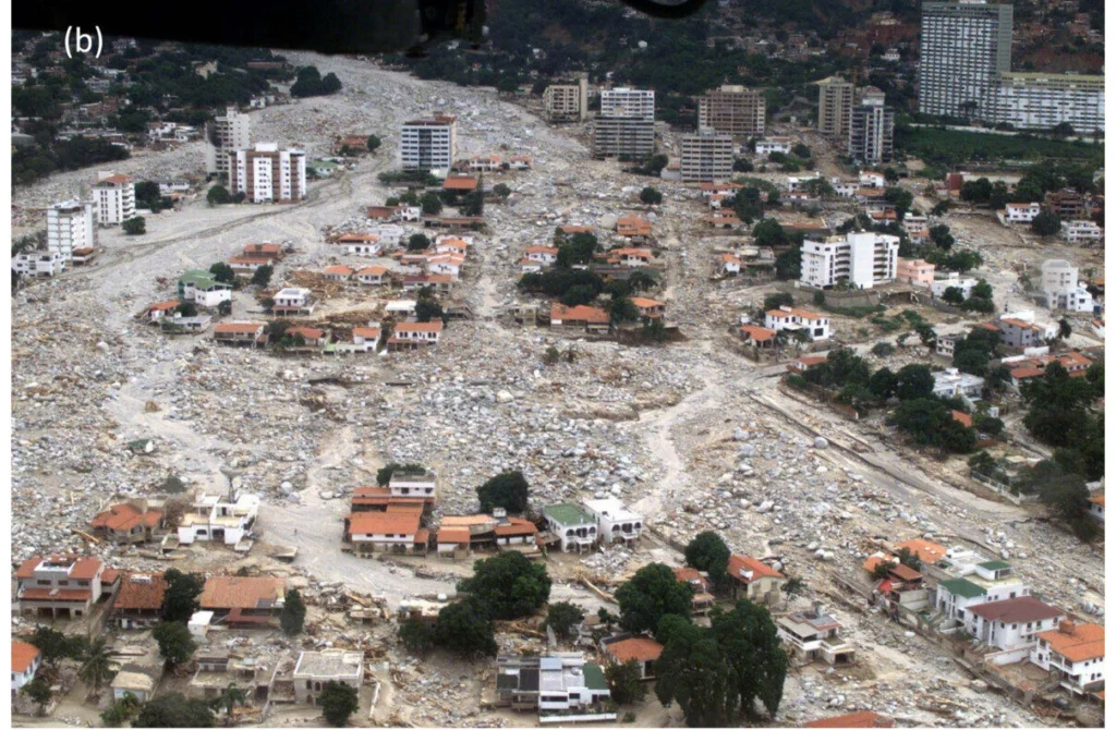
Thirty years ago, in August 1996, a catastrophic flash flood swept through the Las Nieves campsite on the alluvial fan of the Barranco de Aras near Biescas in the Central Pyrenees of Aragón, Spain. The tragedy claimed 87 lives and injured over 180 people. This makes it one of the most severe weather-related disasters in modern European history. In the decades following the disaster, geoscientists ...[Read More]
Open flood modelling: Real time inundation and human displacement forecasting is now possible!
Floods are powerful natural events that can wreak havoc on communities and ecosystems. Every year, millions of people are affected by floods, leading to loss of life, damage to homes, and disruption of daily life. This blog post explores a new method for quickly mapping flood zones and predicting their impacts. To help communities and decision-makers better prepare, the authors of a recent publica ...[Read More]
How Ancient Egyptian Decline Synced With Hydrological Change….And How They Survived
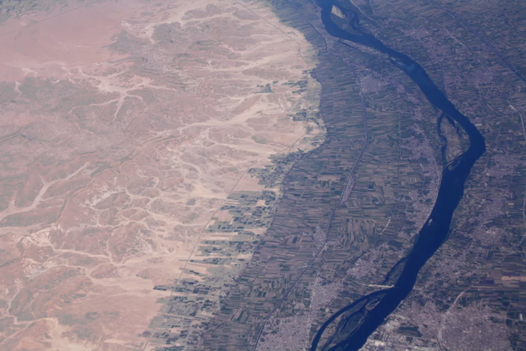
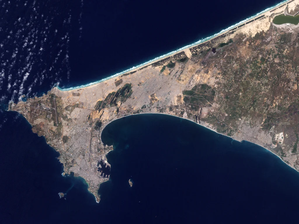
Cairo’s survival was, is, and will be dependent on the flow of the Nile. Since the city was founded in 10th century CE the Nile’s scouring waters have left behind untouched ground onto which the city has spilled and grown. Modern Cairo’s youngest districts are closest to the Nile, founded on earth which was underwater centuries before. It is the river’s changing nature that made the Nile Val ...[Read More]
Imaggeo On Monday: Reflections in floodwater
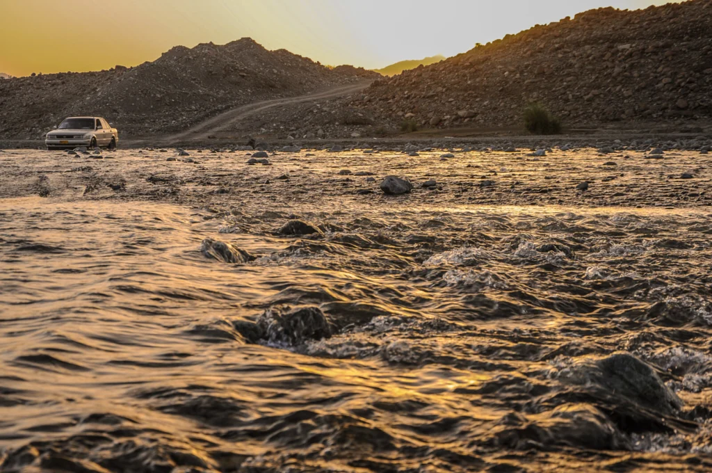
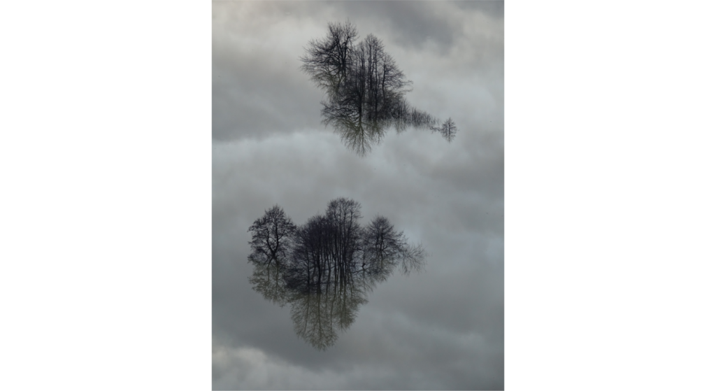
This picture shows several trees and the sky reflecting in floodwater during an event that occured in February 2019 in front of the famous Postojna cave (Slovenia). In Slovenian karst areas, floods are considered as a very common natural phenomenon that can occur several times per year. While most of them are not harmful for local people, the most severe events cause considerable damages and might ...[Read More]
Inclusive flood mapping: using citizen science to collect historical flood data in Dakar, Senegal.
During the month of February, we are focusing on ‘Accessibility and Inclusivity’ here at the EGU. Although these topics are clearly relevant to the General Assembly, some people may wonder whether they also relate to scientific research. Clearly all geoscientists are people, so accessibility and inclusivity matter regardless of what scientific discipline they are in. But there can also be tangible ...[Read More]
Imaggeo on Mondays: The polje between sky and Earth
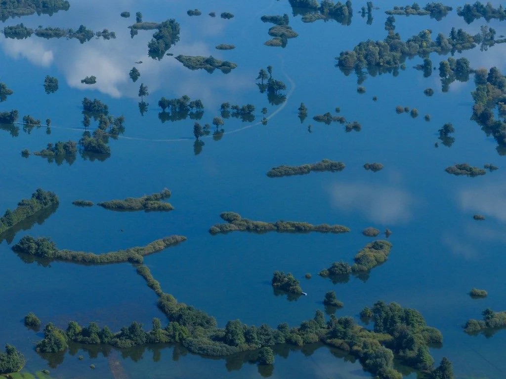
Poljes are one of the most impressive features existing in karst landscapes. These large flat closed depressions are prone to regular flooding that can form temporary lakes on their surface. Planinsko Polje [in Slovenia] is surely the most famous example of polje existing. The highest floods can reach up to 8 metres above the gauging station and last for more than two months. The lake is then more ...[Read More]
Imaggeo on Mondays: A Colombian myth with geologic origins
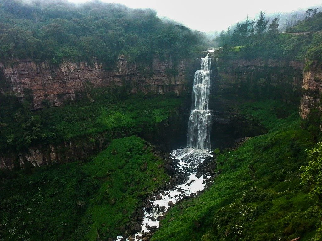
This photograph shows El salto del Tequendama, a natural waterfall of Colombia, located in the Department of Cundinamarca at an altitude of 2400 metres above sea level and approximately 30 kilometres southwest of the country’s capital, Bogotá. The Salto del Tequendama is a space of transit and connectivity between the warm lands of the Magdalena river basin and the cold lands of the Sumapaz ...[Read More]
Imaggeo on Mondays: The Crossroads of Flood and Drought
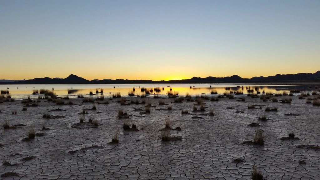
This picture was taken on the way back from collecting field measurements at the Lordsburg Playa in southwestern New Mexico, USA. The setting sun highlights the contrast between the dry, cracked soil and the standing water from antecedent rainfall. A playa is a flat topographic depression in arid or semi-arid regions that contains a large amount of deposited sediment. When the surface of the playa ...[Read More]
September GeoRoundUp: the best of the Earth sciences from around the web
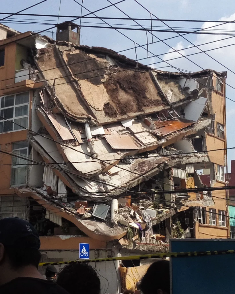
Drawing inspiration from popular stories on our social media channels, as well as unique and quirky research news, this monthly column aims to bring you the best of the Earth and planetary sciences from around the web. Major story and what you might have missed This month has been an onslaught of Earth and space science news; the majority focusing on natural hazards. Hurricanes, earthquakes and v ...[Read More]