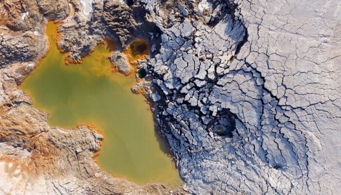
This photo, captured by drone about 80 metres above the ground, shows a nested sinkhole system in the Dead Sea. Such systems typically take form in karst areas, landscapes where soluble rock, such as limestone, dolomite or gypsum, are sculpted and perforated by dissolution and erosion. Over time, these deteriorating processes can cause the surface to crack and collapse. The olive-green hued sinkho ...[Read More]
Imaggeo on Mondays: Salt shoreline of the Dead Sea
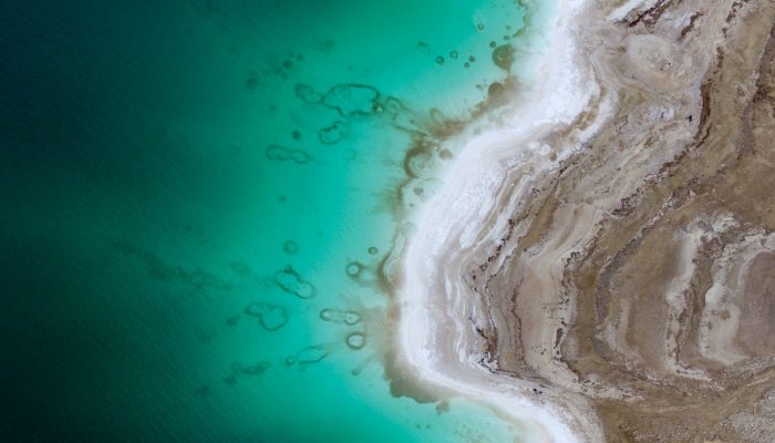
This beautiful aerial image (you’d be forgiven for thinking that it was a watercolour) of the Dead Sea was captured by a drone flying in 100m altitude over its eastern coastline. Climate change is seeing temperatures rise in the Middle East, and the increased demand for water in the region (for irrigation) mean the areas on the banks of the lake are suffering a major water shortage. As a result, t ...[Read More]
Imaggeo on Mondays: Lusi from the sky with drones
The picture shows a spectacular aerial view of a sunset over the Lusi mud eruption in East Java, Indonesia. Here thousands of cubic meters of mud, are spewed out every day from a 100 m sized central crater. Since the initial eruption of the volcano in 2006, following a 6.3 M earthquake, a surface of about 7 km2 has been covered by boiling mud, which has buried more than 12 villages and resulted in ...[Read More]