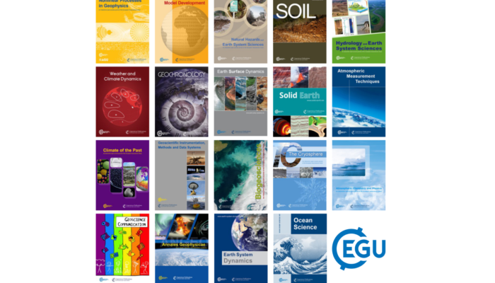
Each month we feature specific Divisions of EGU and during the monthly GeoRoundup we put the journals that publish science from those Divisions at the top of the Highlights roundup. For November, the Divisions we are featuring are: Biogeosciences (BG) and Geodesy (G). They are served by the journals: Biogeosciences (BG), SOIL, Solid Earth (SE) and Geoscientific Model Development (GMD). Feat ...[Read More]
Top 5 Gifts for Geoscientists (2023 edition!)
The nights are growing darker and there is snow on the ground here in Munich as winter draws close in the Northern Hemisphere, and at this time of year you are probably thinking about what gifts to get that special geoscientist in your life! We know sourcing appropriately nerdy and/or geology related gifts can sometimes be a challenge, so we in the EGU office are back again to help you out with ou ...[Read More]
GeoPolicy: Science for Policy Internships & Traineeships – a regularly updated list
Internships and traineeships are a great way to gain a better understanding of the political system and how policymakers use scientific evidence! This month’s GeoPolicy Blog post highlights various European-based opportunities that researchers can apply for. Understanding Europe’s political landscape and the information that policymakers need to make evidence-informed decisions is one of the most ...[Read More]
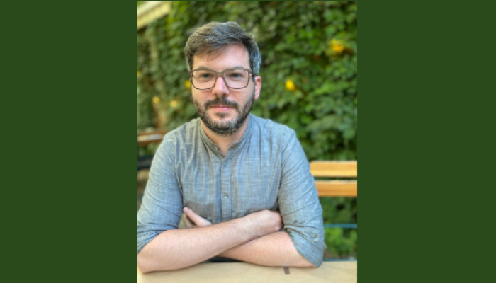
GeoTalk: meet Andreas Kvas, researcher of Earth’s gravity affected by climate change!
Hello Andreas. Welcome to GeoTalk! You’re a specialist in Geodesy, and your research surveys the Earth’s spatial and gravitational properties as they relate to climate change. Could you tell us more about how Geodesy can help us understand climate change? Geodesy studies Earth’s geometric shape, orientation in space, and gravity field. Each of these components changes in time and is af ...[Read More]


