Each month we feature specific Divisions of EGU and during the monthly GeoRoundup we will be putting the journals that publish science from those Divisions at the top of the Highlights roundup. For July, the Divisions we are featuring are: Geodesy (G), Ocean Science (OS) and Tectonics and Structural Geology (TS). They are served by the journals: Geoscientific Model Development (GMD), Ocean Science ...[Read More]
Imaggeo On Monday: Sunset in the Arabian basin

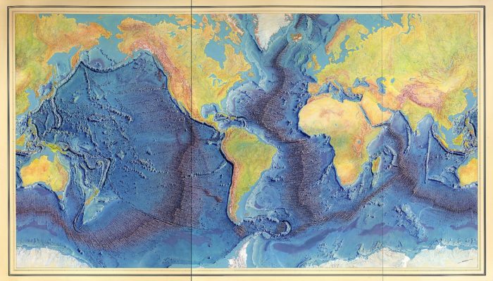
We know the topography of the moon better than the Earth’s seafloor, so we need to keep studying the ocean, and, for me, going to sea is the best way. Only twenty percent of the seafloor is already mapped (see the Seabed 2030 Project), leaving eighty percent of our ocean unmapped, unobserved, and unexplored. This is why ocean going research is fundamental, not only for seabed mapping, ...[Read More]
GeoTalk: Hali Felt, author of ‘Soundings: The Story of the Remarkable Woman Who Mapped the Ocean Floor’
This month for GeoTalk, as we approach the centennial of Marie Tharp’s birth next week, we were lucky enough to speak with the author of her biography ‘Soundings: The Story of the Remarkable Woman Who Mapped the Ocean Floor‘; Hali Felt. Hali has a Master of Fine Arts degree from the University of Iowa and has completed residencies at MacDowell, the Sitka Center for Art and Ecolog ...[Read More]
Imaggeo On Monday: Watercolors- Nature’s talent

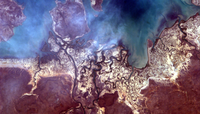
The photo was taken from the International Space Station (ISS), approx. 400 km above the Earth, in the educational project administered by NASA: Sally Ride EarthKAM, Mission 59, November 2017. The image was requested by a team of students from my college, coordinated by me. Even though we weren’t there, on ISS, to trigger the camera, all the locations in which the photographs were taken are ...[Read More]


