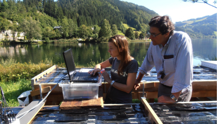
This photograph was taken at the campsite near lake Mỳvatn during a field trip to Iceland. Every year a group of students from Wageningen University travels from the Netherlands to Iceland for a weeklong excursion as part of a course on catchment hydrology. The aim of the trip is to provide students with real life examples of the processes they learned during their lectures. After a rainy morning ...[Read More]
Imaggeo on Mondays: Hole in a hole in a hole…
This photo, captured by drone about 80 metres above the ground, shows a nested sinkhole system in the Dead Sea. Such systems typically take form in karst areas, landscapes where soluble rock, such as limestone, dolomite or gypsum, are sculpted and perforated by dissolution and erosion. Over time, these deteriorating processes can cause the surface to crack and collapse. The olive-green hued sinkho ...[Read More]
GeoPolicy: the EU’s Bioeconomy Strategy – what is it and how is it linked with geoscience?
What is the bioeconomy? Global threats such as climate change, ocean acidification, land degradation and an ever-expanding population means that it’s essential for us to reduce our environmental impact while still meetings our demand for food, resources and energy. The bioeconomy covers all sectors and systems that rely on biological resources and their functions including renewable biological re ...[Read More]
Geosciences Column: How climate change put a damper on the Maya civilisation
More than 4,000 years ago, when the Great Pyramid of Giza and Stonehenge were being built, the Maya civilisation emerged in Central America. The indigenous group prospered for thousands of years until its fall in the 13th century (potentially due to severe drought). However, thousands of years before this collapse, severely soggy conditions lasting for many centuries likely inhibited the civilisat ...[Read More]