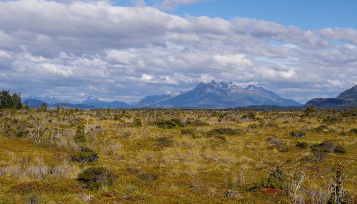
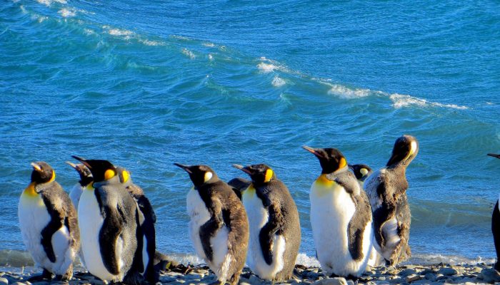
Remote, rugged, raw and beautiful beyond measure, the island of South Georgia rises from the wild waters of the South Atlantic, 1300 km south east of the Falkland Islands. The Allardyce Range rises imposingly, south of Cumberland Bay, dominating the central part of the island. At its highest, it towers 2935 m (Mount Paget) above the surrounding landscape. In the region of 150 glaciers carve their ...[Read More]
Imaggeo on Mondays: Isolated atoll
Covering a total area of 298 km², the idylic natural atolls and reefs of the Maldives stretch across the Indian Ocean. The tropical nation is famous for it’s crystal clear waters and picture perfect white sand beaches, but how did the 26 ring-shaped atolls and over 1000 coral islands form? Coral reefs commonly form immediately around an island, creating a fringe which projects seawards from the sh ...[Read More]
Imaggeo on Mondays: What happens to mines when they become redundant?
When the minerals run out, or it is no longer profitable to extract the resources, mines shut down. Prior to issuing a permit for the exploitation of a resource, most regulators require assurance that once the mine closes it, or the activities carried out at the site, will not present a risk to human health or the environment. Ongoing monitoring of a mine once it is decommissioned is required to e ...[Read More]
Imaggeo on Mondays: A prehistoric forest
This stunning vista encompasses the south-western wilderness of Tasmania as seen from the Tahune air walk 60 m above the Huon river valley. In front lies the beginning of a huge UNESCO World Heritage Site, covering almost a fourth of the area of Tasmania. The site mostly consists of a pristine, temperate rainforest of Gondwanan origin that is home to the tallest flowering trees in the world; Eucal ...[Read More]