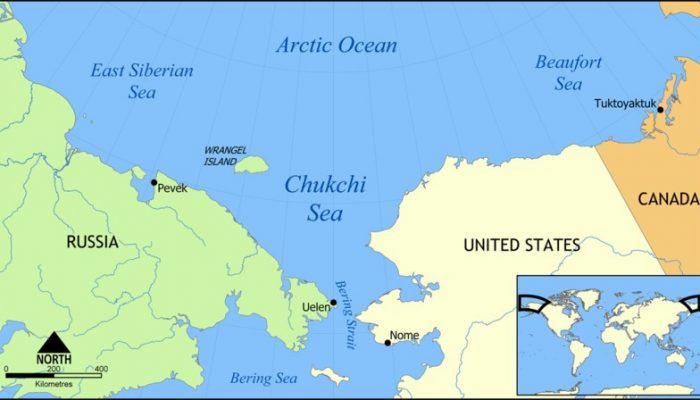
Though now submerged under 53 m of ocean waters, there once was a land bridge which connected North America with Asia, allowing the passage of species, including early humans, between the two continents. A new study, published in the EGU’s open access journal Climate of the Past, explores when the land bridge was last inundated, cutting off the link between the two landmasses. The Bering Strait, a ...[Read More]
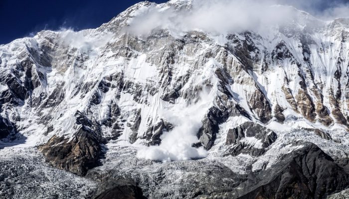
Imaggeo on Mondays: A dramatic avalanche from Annapurna South
The Annapurna massif is located in an imposing 55 km long collection of peaks in the Himalayas, which behave as a single structural block. Composed of one peak (Annapurna I Main) in excess of 8000 m, a further thirteen peaks over 7000 m and sixteen more of over 6000 m, the massif forms a striking structure within the Himalayas. Annapurna South (pictured in today’s featured image), the 101st talles ...[Read More]
Imaggeo on Mondays: Sediments make the colour
Earth is spectacularly beautiful, especially when seen from a bird’s eye view. This image, of a sweeping pattern made by a river in Iceland is testimony to it. The picture shows river Leirá which drains sediment-loaded glacial water from the Myrdalsjökull glacier in Iceland. Myrdalsjökull glacier covers Katla, one of Iceland’s most active and ice-covered volcanoes. A high sediment load (the suspen ...[Read More]
Imaggeo on Mondays: Salt shoreline of the Dead Sea
This beautiful aerial image (you’d be forgiven for thinking that it was a watercolour) of the Dead Sea was captured by a drone flying in 100m altitude over its eastern coastline. Climate change is seeing temperatures rise in the Middle East, and the increased demand for water in the region (for irrigation) mean the areas on the banks of the lake are suffering a major water shortage. As a result, t ...[Read More]