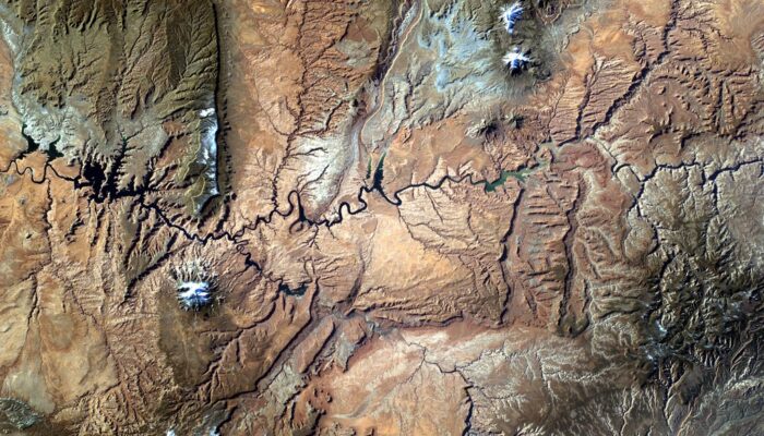
This photo was taken from the International Space Station (ISS), approx. 400 km above the Earth, in the NASA-led educational project Sally Ride EarthKAM (www.earthkam.org), Mission 58, April 2017. The image was requested by a team of 10th and 11th grade students from the National College of Computer Science, Piatra-Neamț, Romania, coordinated by me. The lenses used on the digital camera mounted on ...[Read More]
Imaggeo on Mondays: Small scale processes, large scale landforms
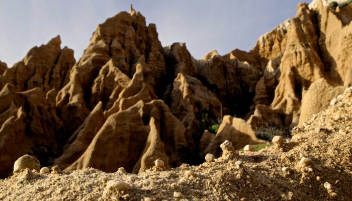
This picture was taken in a sea cliff gully landscape at the Portuguese coast. It shows the microrelief which small scale wash and erosional processes produce in these poorly consolidated sediments. These small scale landforms could be interpreted as initial stages of larger scale gully landforms, which can be seen in the back. This highlights the importance of regarding scales and scale linkages ...[Read More]
Imaggeo on Mondays: Hole in a hole in a hole…
This photo, captured by drone about 80 metres above the ground, shows a nested sinkhole system in the Dead Sea. Such systems typically take form in karst areas, landscapes where soluble rock, such as limestone, dolomite or gypsum, are sculpted and perforated by dissolution and erosion. Over time, these deteriorating processes can cause the surface to crack and collapse. The olive-green hued sinkho ...[Read More]
Imaggeo on Mondays: A modern cliff hides ancient dunes
Ancient sand dunes exposed off a cliff face on the shoreline of Nova Scotia at the Islands Provincial Park. The juxtaposition of the high angled strata and flat lying layers above revels the drastic change in climate in Nova Scotia’s history; from vast sand dunes to a calm lake system, and presently the western coastline of the Atlantic Ocean. Description by Robert Wu, as it first appeared o ...[Read More]