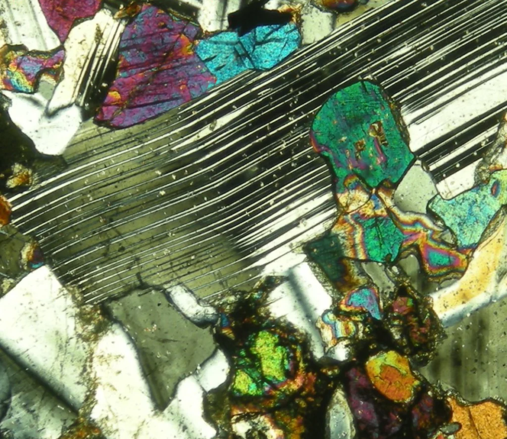
The impressive Zagros Orogeny, as seen from a bird’s-eye view, has featured on Imaggeo on Monday’s blog posts a few times recently. From its fluvial dissection features, through to a false colour LANDSAT 7 image which reveals a velociraptor hiding among fold and thrusts, we’ve looked at the broad scale structures which shape the Zagros mountains. This week, the scale changes entirely: we zoom righ ...[Read More]
Geodynamics
Imaggeo on Mondays: Mount Etna
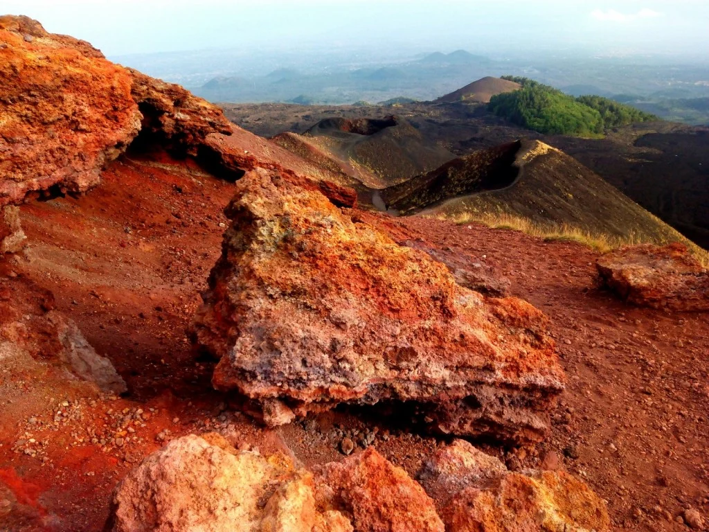
In this week’s Imaggeo on Monday’s image an almost Martian looking landscape, with ombre coloured soils, gives way to gently rolling hills, covered in luscious woods and vegetation. Were it not for the trees in the distance, you would be forgiven for thinking this image had been captured by a Mars rover. In truth, it is an entirely more earthly landscape: welcome to the slopes of Mt. Etna! Keep on ...[Read More]
Imaggeo on Mondays: The organisation of a river system
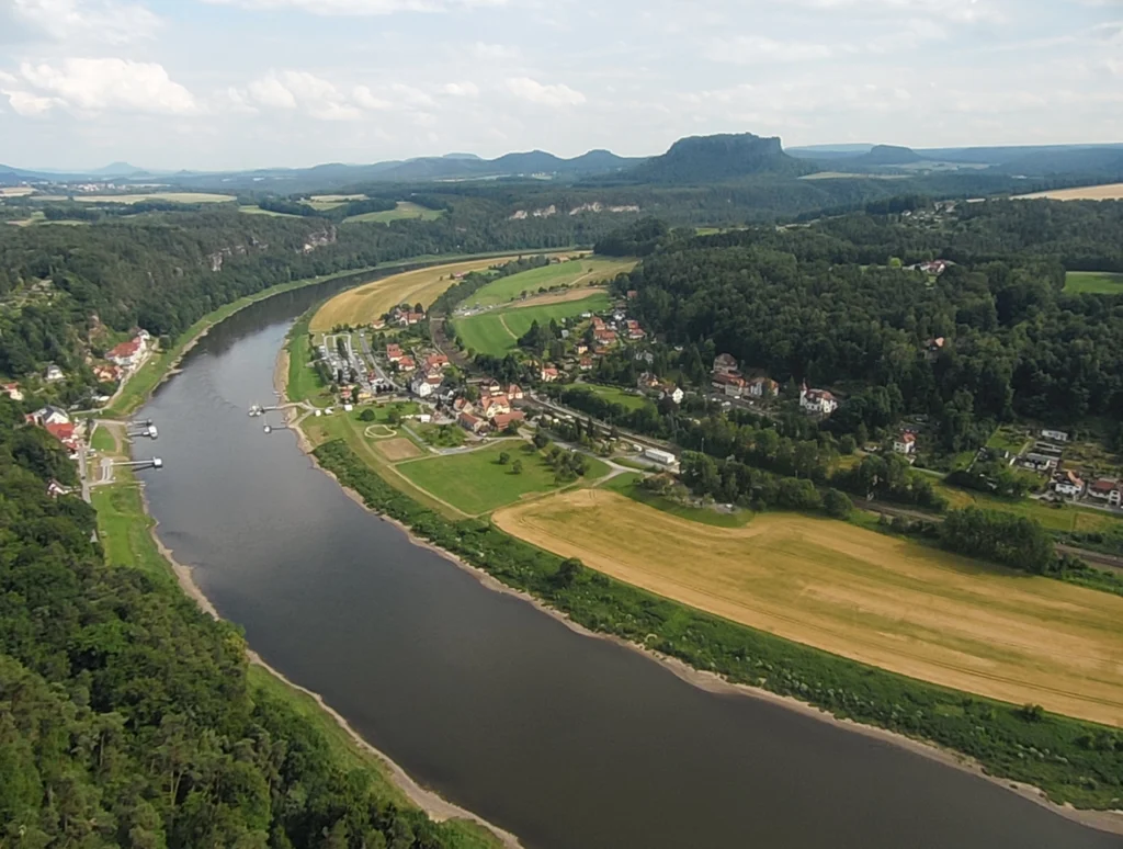
The picture shows the Elbe Rivervalley, one of the major rivers of Central Europe. It was taken from the Bastei Bridge close to Rathen, which towers 194 meters above the Elbe River in the state of Saxony in the south-eastern Germany. This region belongs to the national park known as Saxon Switzerland. Together with the Bohemian Switzerland in the Czech Republic, the Saxon Switzerland National Park ...[Read More]
Imaggeo on Mondays: Mola de Lord
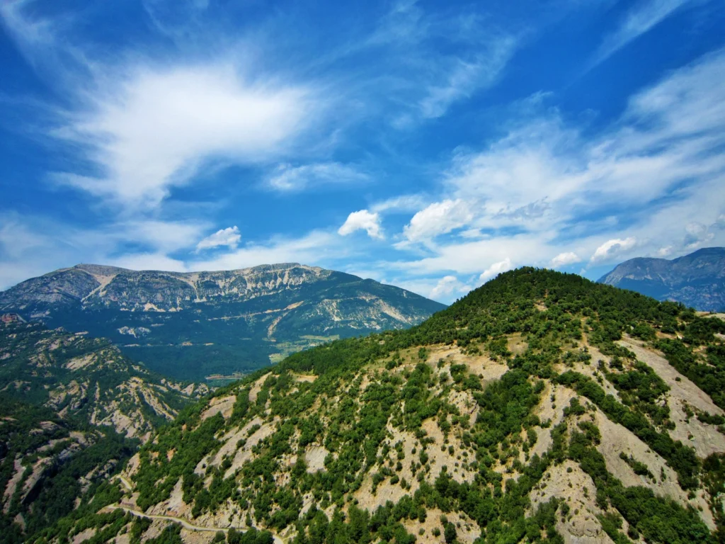
From the easterly Atlantic waters of the Bay of Biscay to the Catalan wild coast (Costa Brava) in the west, the Spanish Pyrenees stretch 430 km across the north of the country. At the foothills of the Catalan Pyrenees you’ll find the Pre-Pyrenees. Despite not reaching the soaring heights of the peaks of the Pyrenees, they nonetheless offer important insights into the geology of the range and stunn ...[Read More]
Imaggeo on Mondays: Dragon Blood Tree
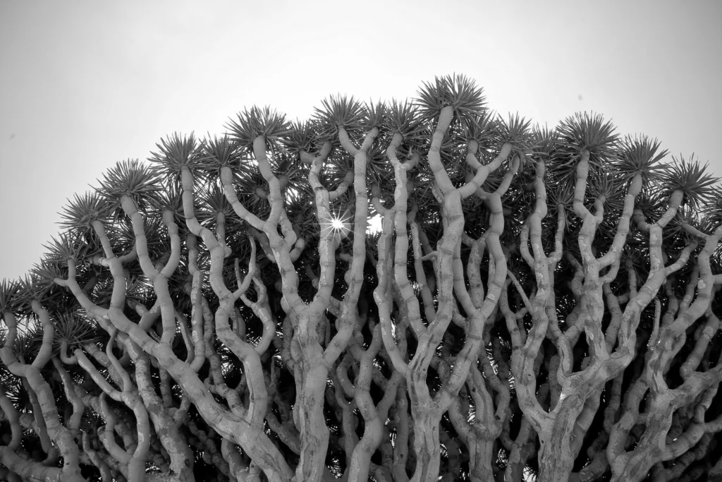
On a small and isolated island in the Indian Ocean you’ll find an endemic population of Dragon Blood Trees (Dracaena cinnabari). Burly, with an interesting umbrella-shaped fractal canopy, these unique trees are a sight to behold. To see them for yourself, you’ll have to travel to the little known Socotra archipelago. Off the coast of Somalia, but belonging to Yemen, the group of islands boast an i ...[Read More]
Imaggeo on Mondays: Strombolian eruption
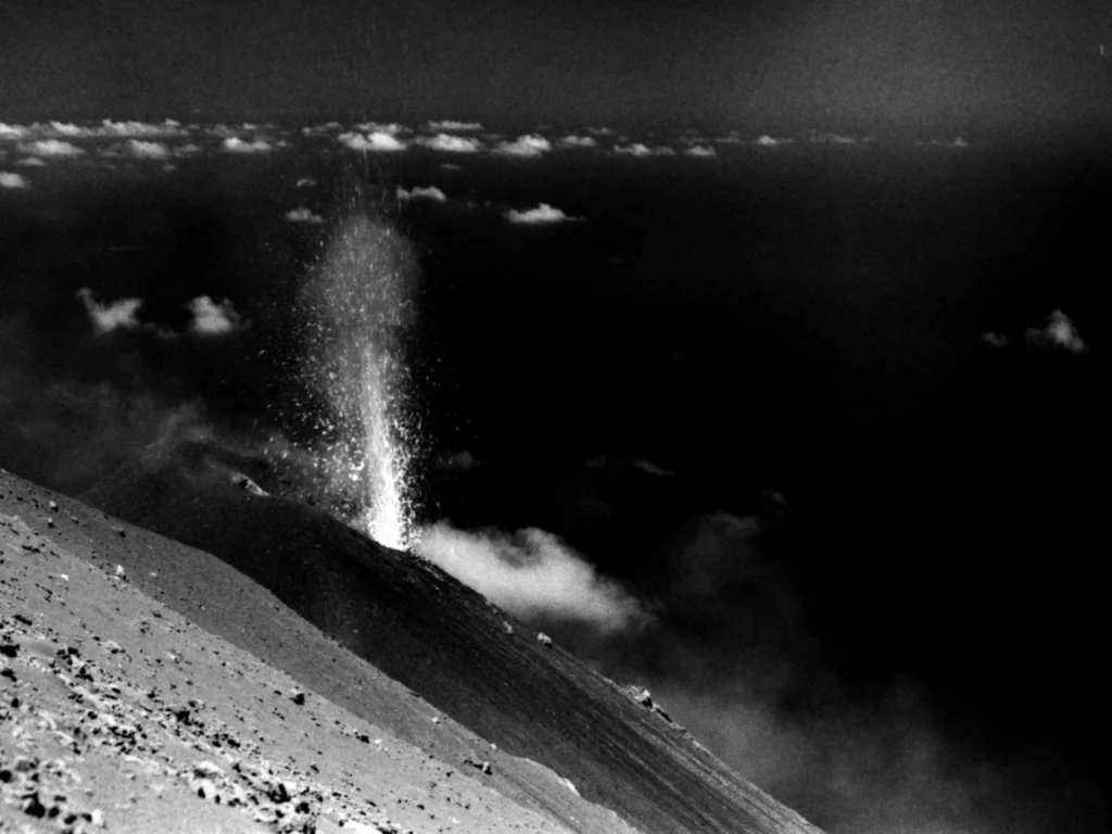
Jonas Kuhn, a researcher at Heidelberg University , took the photograph during a field campaign at Stromboli volcano in Italy. The objective of this campaign was to gather data from different gaseous compounds of the volcanic plume. Via emission fluxes of volcanic gases (e.g. SO2, CO2, halogen compounds…) or the ratio of emitted gases, one can retrieve information about the interior of the v ...[Read More]
Imaggeo on Mondays: The place where water runs through rocks
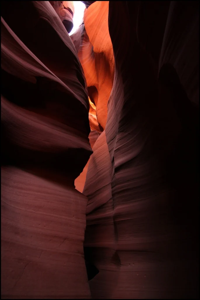
Antelope Canyon, located in Arizona, USA, was formed by erosion of the Navajo Sandstone, primarily due to flash flooding and secondarily due to other sub-aerial processes (think of physical weathering processes such as freeze-thaw weathering exfoliation and salt crystallisation). Rainwater runs into the extensive basin above the slot canyon sections, picking up speed and sand as it rushes into the ...[Read More]
GeoTalk: Meet Andi Rudersdorf, winner of I’m a Geoscientist 2015!
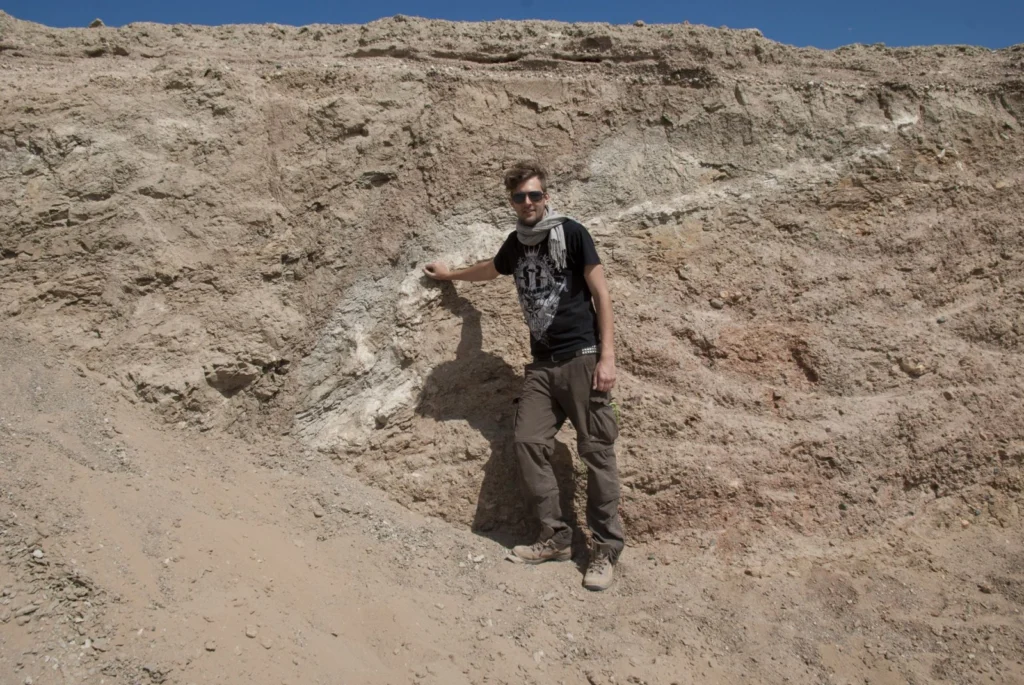
Earlier this year we ran the second I’m a Geoscientist event, an online chat-based game show in which school kids vote for their favourite geoscience communicators. In this week’s GeoTalk, Laura Roberts talks to Andi Rudersdorf, a neotectonics PhD student and winner of this year’s I’m a Geoscientist… First, for those who didn’t been following I’m a Geoscientist, can you tell us a little about you ...[Read More]
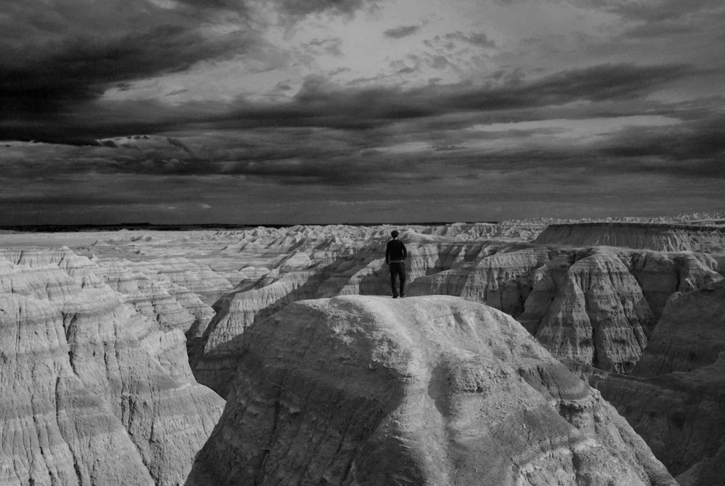
Imaggeo on Mondays: A voyage through scales – The Badlands National Park, South Dakota.
Layer upon layer of sand, clay and silt, cemented together over time to form the sedimentary units of the Badlands National Park in South Dakota, USA. The sediments, delivered by rivers and streams that criss-crossed the landscape, accumulated over a period of millions of years, ranging from the late Cretaceous Period (67 to 75 million years ago) throughout to the Oligocene Epoch (26 to 34 million ...[Read More]
The day the Earth trembled: A first-hand account of the 25 April Nepal earthquake
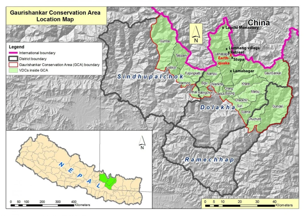
On the 25th April 2015, Viktor Bruckman, a researcher at the Austrian Academy of Sciences, and a team of his colleagues were a few hours into a hike between the settlements of Lamabagar, in a remote area of northeastern Nepal, and the Lapchi Monastery when a magnitude 7.8 earthquake struck Nepal. Their journey cut short by the trembling Earth, stranded in the heights of the Himalayas, this is thei ...[Read More]