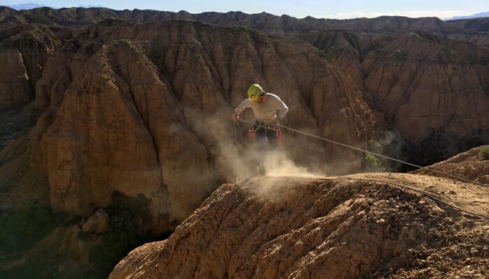
The heights we go to for science… This photograph shows a member of our team preparing to abseil down a cliff in the Charyn Canyon, in the Ili River basin of southeast Kazakhstan. The Charyn River and its tributaries, a branch of the Ili River north of the Tien Shan Mountains, have cut canyons up to 300 metres deep, carving through rocks of different geologic ages, some as old as 540 million years ...[Read More]
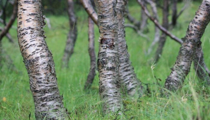
Imaggeo on Mondays: Iceland’s original birch forest
Iceland is a country of dramatically rugged landscapes. The region is home to sweeping valleys and mountain ranges, dotted with lava fields, large glaciers, hot springs and impressive waterfalls. The territory is also notoriously treeless. As of 2016, forests only made up 1.9 percent of Iceland, according to the Icelandic Forest Service. However, about a thousand years ago the country’s landscape ...[Read More]
Imaggeo on Mondays: Mount Elgon, a balance between fertility and destruction
This colourful cropland patchwork is located on the fertile flanks of Mount Elgon, Uganda at an elevation of 2,400 metres above sea level. The extinct shield volcano, the oldest in East Africa, is mostly covered in clouds and provides an infinite flow of wonderful waterfalls. Due to the climate at this elevation, the cultivated crops experience more temperate weather conditions compared to crops m ...[Read More]
GeoTalk: How will large Icelandic eruptions affect us and our environment?
Geotalk is a regular feature highlighting early career researchers and their work. In this interview we speak to Anja Schmidt, an interdisciplinary researcher at the University of Cambridge who draws from atmospheric science, climate modelling, and volcanology to better understand the environmental impact of volcanic eruptions. She is also the winner of a 2018 Arne Richter Award for Outstanding Ea ...[Read More]