How many times have you turned your head up to the sky and spotted familiar shapes in the clouds? Viewing structures from afar can reveal interesting, common and, sometimes, funny patterns. Satellite images are often used to map geological terrains. They offer a bird’s eye view of the planet and the opportunity to see broad scale structures, the scale of which would be impossible to grasp from the ...[Read More]
A guide to convening a session at the EGU General Assembly – Part I
Convening a session at a conference can seem daunting, especially if you are an early career research and a first-time convener. That’s why we’ve put together this two part series to outline the main steps of the process. With the call for sessions for the 2016 EGU General Assembly open until 18 September 2015, now is the perfect time to give it a go! The key ingredients are an idea for a session, ...[Read More]
Imaggeo on Mondays: Mesopotamia, the ancient land between rivers
Mesopotamia, an area rich in history and considered as the cradle of civilisation, with the first populations establishing themselves in the region some 6000 years ago,lies between two great rivers: the Euphrates and the Tigris. The ancient territory spans areas of modern-day Iraq, Kuwait, the northeastern section of Syria and small sections of southeastern Turkey and southwestern Iran. The histor ...[Read More]
Geosciences Column: The calamity of eruptions, or an eruption of benefits?
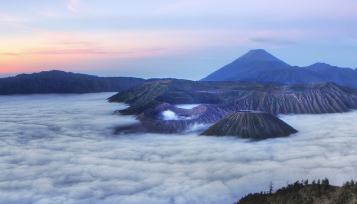
So here is a question: why would anyone want to live in the vicinity of an active volcano? The risks are well known, with hazards arising from lava flows, lahars, ash falls, debris avalanches, and pyroclastic density currents, with many often having deadly consequences. But despite the danger, more than half a billion people live in the direct vicinity of volcanoes. Could it be that communities pr ...[Read More]


