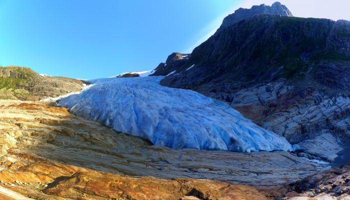
This picture shows the outlet glacier Engabreen running down from the plateau of Svartisen in Norway. Svartisen ice cap comprises two glacier systems of which the Vestre (western) Svartisen is Norway’s second largest glacier. Located right at the polar circle, Svartisen covers a total of 369 km² of the Nordland region. These coastal mountains accumulate a snowpack of 5-7 m depth through the winter ...[Read More]
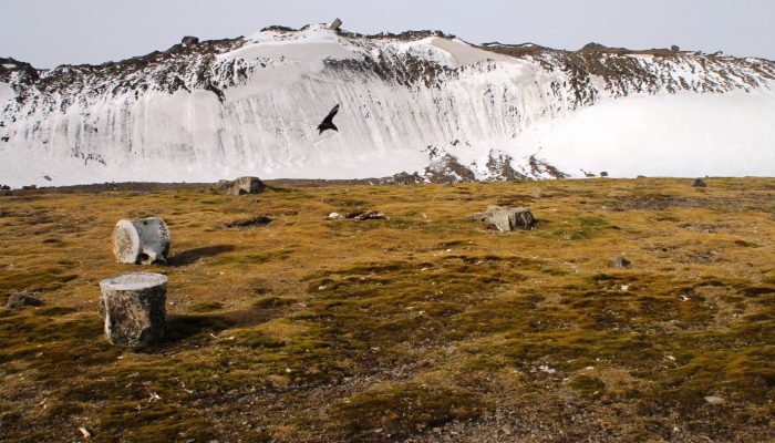
Geosciences Column: A new rock outcrop map and area estimation for the entire Antarctic continent
Antarctica has been known as “the frozen continent” for almost as long as we have known of its existence. It may be the only place on Earth where, instead of information on the extent of glaciers or ice caps, there exists a dataset of all non-icy areas compiled from satellite imagery. However, this repository is far from perfect: while satellite resolution and coverage have been steadily improving ...[Read More]
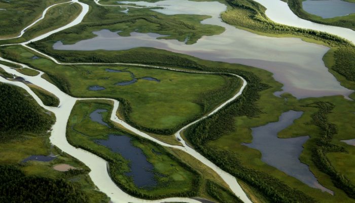
Imaggeo on Mondays: Living flows
There are handful true wildernesses left on the planet. Only a few, far flung corners, of the globe remain truly remote and unspoilt. To explore and experience untouched landscapes you might find yourself making the journey to the dunes in Sossuvlei in Namibia, or to the salty plain of the Salar Uyuni in Bolivia. But it’s not necessary to travel so far to discover an area where humans have, so far ...[Read More]
GeoSciences Column: Improving together – science writing and football
Writing is something that those pursuing a career in academia are expected to be good at. It is a requirement of the job, yet it is a skill few get any formal training in and simply rely on the old saying that practice makes perfect. But what if there is another way? Mathew Stiller-Reeve is a co-founder of ClimateSnack, a writing group organization, which aims to tackle the problem. In today’s pos ...[Read More]