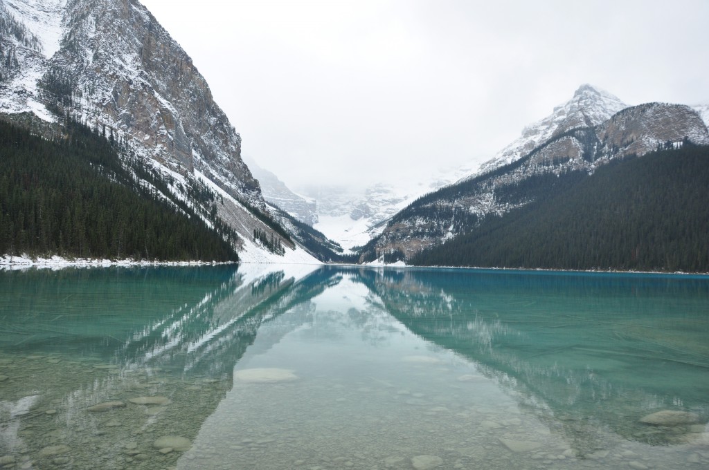
“Lake Louise” by Pedro Restrepo, distributed by the European Geosciences Union under a Creative Commons license.
The Canadian province of Alberta is known for its seemingly endless and pristine natural landscapes and the area surrounding Lake Louise, in Banff National Park, is no exception. Located at the foot of the Rocky Mountains, Lake Louise boasts a unique emerald colour as a result of rock flour – fine-grained, silt-sized particles of rock – carried into the lake by meltwater from nearby mountain glaciers.
Lake Louise serves as the southern gateway to the notoriously scenic Highway 93N, also known as the Icefields Parkway, which runs in a northwesterly direction towards Jasper. This road parallels the Great Continental Divide of the Americas, the separation point of watersheds draining into the Pacific Ocean from river systems flowing into the Atlantic, traversing the rugged landscape of the Rockies.
It is within the context of this vast wilderness that Pedro Restrepo, of the National Oceanic and Atmospheric Administration, snapped this stunning picture. He explains, “This photo of Lake Louise, in Canada’s Banff National Park, was taken on October 16, 2009, during a Canadian workshop on cold regions hydrology. It was taken with a Nikon D90 camera, and an 18-105 mm zoom lens set at 18 mm, and f/6.3. Exposure time was 1/160 sec and ISO Speed 400.”
The nearby hamlet of Lake Louise, with just over 1,000 inhabitants, is the highest permanent settlement in Canada, sitting at 1,536 m above sea level.
Imaggeo is the EGU’s online open access geosciences image repository. All geoscientists (and others) can submit their images to this repository and since it is open access, these photos can be used by scientists for their presentations or publications as well as by the press and public for educational purposes and otherwise. If you submit your images to Imaggeo, you retain full rights of use, since they are licensed and distributed by the EGU under a Creative Commons licence.
