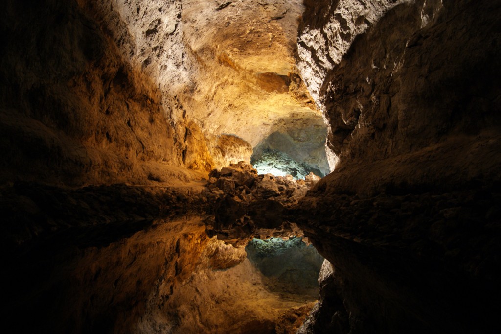
“Cueva de los Verdes” by Marta Umbert Ceresuela, distributed by the European Geosciences Union under a Creative Commons license
The volcanic Lanzarote is the easternmost of the Canary Islands, located in the Atlantic Ocean approximately 125 km off the coast of Africa. One of its most famous attractions is the system of caves known as La Cueva de los Verdes (Greens’ Cave), created around 3,000-4,500 years ago by lava from the now extinct Monte Corona volcano.
La Cueva de los Verdes extends for 6 km above sea level and for another 1.5 km below the sea, forming the Tunnel de la Atlantida, the longest known volcanic submarine lava tube. In the 1960s, approximately a third of the system was redeveloped for tourism, offering visitors the chance to experience its passages under mood lighting and sometimes even to the tunes of music performed in the custom built concert hall, which seats up to 500 people.
In January 2011, whilst on holiday, oceanographer Marta Umbert Ceresuela took this magical photo inside the caves by an interior lake. She outlines the spectacular manner by which these underground grottoes were formed, “The caves and galleries were created as a result of a prehistoric eruption from the volcano Monte Corona 3,000-5,000 years ago, when a major stream of lava was ejected toward the east coast into the sea. The surface of the lava cooled rapidly and hardened, whilst steaming lava continued to flow underneath the petrified basaltic layer. Air pockets were created and these subsequently exploded once inflated by gases. This was not an isolated phenomenon, since there are two superimposed galleries connected to one another by random vertical cavities. In the photo we see one of the biggest galleries with an interior lake that reflects the ceiling of the cave.”
Used as a refuge by persecuted populations, including 15th century Jews and local villagers hiding from marauding pirates, La Cueva de los Verdes holds an important place in local human history.
Imaggeo is the online open access geosciences image repository of the European Geosciences Union. Every geoscientist who is an amateur photographer (but also other people) can submit their images to this repository. Being open access, it can be used by scientists for their presentations or publications as well as by the press. If you submit your images to imaggeo, you retain full rights of use, since they are licenced and distributed by EGU under a Creative Commons licence.
