The area were most collapses occurred is a former alluvial outlet for the drainage of water and sediment from the upper parts of the Ahir Mountain When it comes to earthquakes, the nature of the Earth surface geology and its geometry is critical to understand the intensity and type of motion of the ground where we live. Of course, other factors matter when assessing the risk of damage in human-mad ...[Read More]
The study of sedimentary architecture and topography to reduce Earthquake damages: a sedimentological perspective on the Kahramanmaraş earthquakes
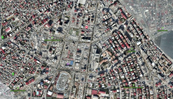
The citiy centre of Kahramanmaraş, was severely damaged. Most buildings in the zone of the image collapsed.
https://www.harita.gov.tr