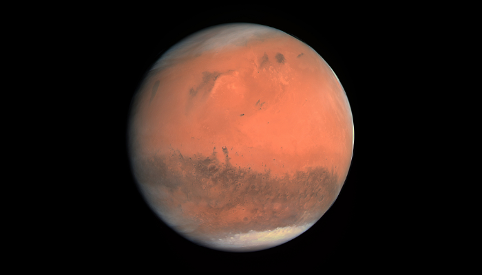
In this week’s blog post, we will learn more about the past of our neighbouring planet Mars. Kar Wai Cheng, PhD student at the Institute of Geophysics at ETH Zurich, is talking about the Martian dichotomy and how it could have formed. Humans have recognized Mars for a very long time. One of the earliest records of Mars is seen on a skymap in the tomb of an ancient Egyptian astronomer. By tha ...[Read More]
Geodynamics
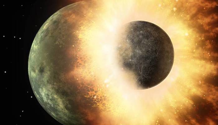
The two faces of Mars