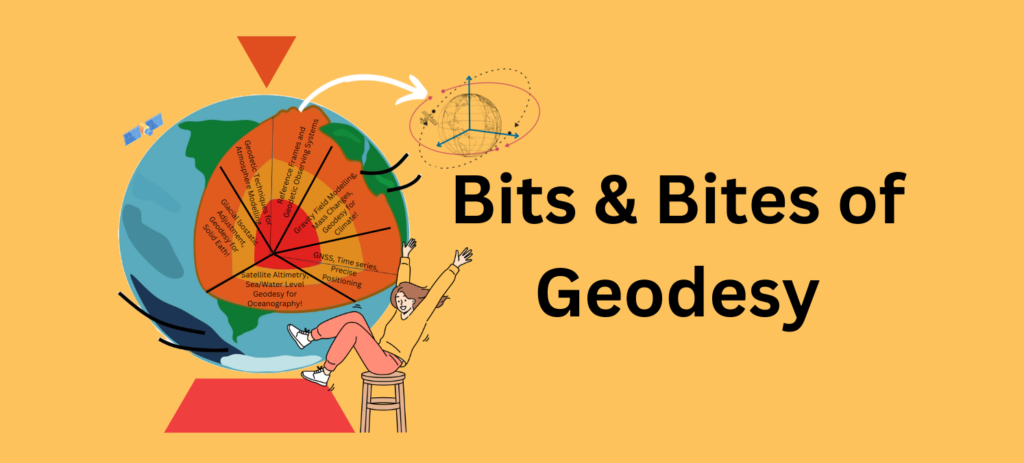
Part 2 – the regional case In our previous post, we discussed global scale phenomena, showing how the Global Navigation Satellite Systems (GNSS) constellation is the ultimate instrument for monitoring the Earth as a whole: tracking plate tectonics, defining the planet’s absolute size, and measuring variations of its gravity field. Essentially, the big questions of …[Read More]
Beyond Navigation: How GNSS Reveals Earth’s Hidden Secrets