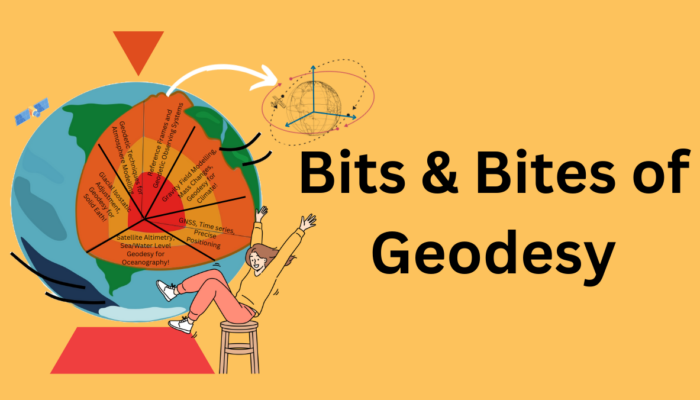
It is almost time for the scientific assembly of the International Association of Geodesy (IAG), an association of the International Union of Geodesy and Geophysics (IUGG). The EGU Geodesy Division and the IAG have worked together for many years. For example, the IAG has been the main sponsor of the Geodesy Reception at past EGU General Assemblies. Besides this, the IAG coordinates global geodetic ...[Read More]
Bits and Bites of Geodesy – Trilateration on Vacation: How GNSS Locates You
Summer vacations are finally here! Like every year, many of us are ready to travel and explore new and exciting destinations. And of course, the GPS on our phones will be an indispensable travel companion! Did you know that GPS (or GNSS) positioning is one of the traditional geodetic techniques? Come along to discover how this technique can find your location in the world and the various applicati ...[Read More]
Bits and Bites of Geodesy – From Wobble to Wander: Tracking Earth’s Shifting Rotation Axis
When we think of Earth’s rotation, it is tempting to imagine a perfectly smooth spin. But in reality, Earth’s rotation is irregular and dynamic, and is influenced by forces inside and outside of our planet. To describe the changing orientation of the Earth in space over time Earth Orientation Parameters (EOPs) are measured with fundamental geodetic measuring techniques, e.g., Very Long Baseline In ...[Read More]
A Brief Recap of EGU GA25
Thank you all for an amazing EGU General Assembly (GA) this year! If you missed EGU25 or some of the events we organised, here’s a recap so you can stop wondering how it went and get an idea of what to expect next year. We started our week with the online division meeting on Wednesday before the general assembly, as is our tradition. We have made some significant changes within the division team a ...[Read More]


