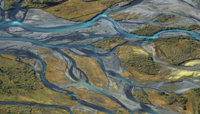
Knowledge gaps in our understanding of the Hydrological Cycle The water cycle continuously provides us with fresh water. A critical process in the water cycle is evapotranspiration (ET), meaning that water evaporates from the surface and transpires from plants into the atmosphere. ET plays a crucial role in climate stability and the regulation of global water resources, but it is one of the most ...[Read More]
High resolution terrestrial water storage changes from combination of GRACE and models
The Gravity Recovery and Climate Experiment (GRACE) satellite mission (2002-2017) consisted of two satellites at ~500 km altitude separated by 200 km, following each other in the same orbit. The distance between the two GRACE satellites changes because of the gravitational pull of the masses beneath the satellites. As such, mass changes at or near the Earth’s surface caused variations in the dista ...[Read More]
Calculating postglacial sea-level change within few seconds: a statistical emulator for GIA

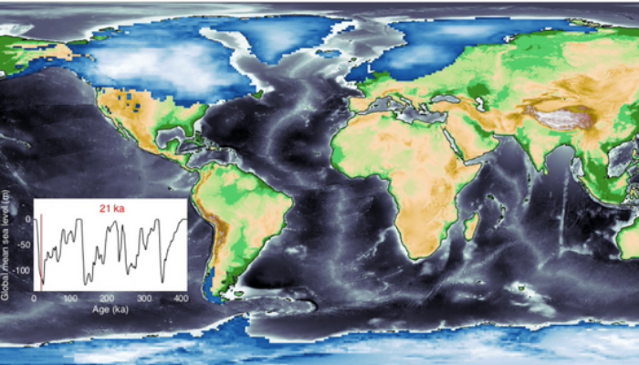
Sea-level change serves as a direct indicator of climate change with profound implications for coastal areas. Since 1900, the global mean sea level (GMSL) has risen over 20 cm, leading to beach erosion, delta inundation, and increased flooding worldwide. Over glacial cycles spanning tens of thousands of years, interactions between ocean and continental-scale ice sheets can cause GMSL to fluctuate ...[Read More]


