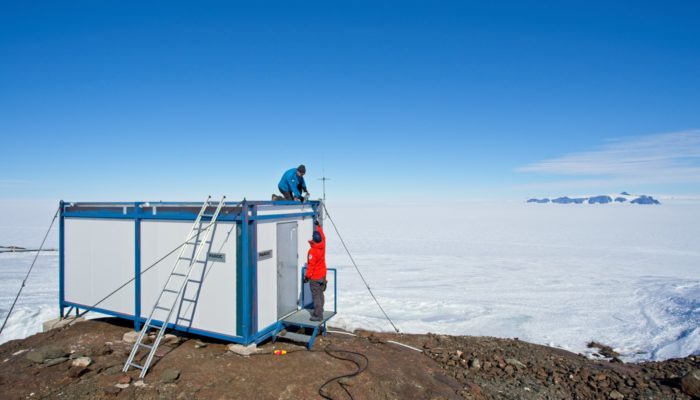
Stories from the field – how exactly are those GPS data collected? The geodesy community at large benefits from the many science projects with open data policies. A user simply has to navigate to a data portal, download the data, and within a matter of moments a world of possibilities opens up for potential research. But where exactly do these data come from? While scientific results get ...[Read More]
Geodesists on Tour: Gravity measurements on Antarctica
Antarctica is well known for its large ice sheet, covering 98% of the continent. A large part of the ice sheet is losing mass leading to vertical and horizontal movements of the crust as well as changes of the gravitational attraction. To observe these changes in gravity with the highest accuracy, it is necessary to visit Antarctica and measure gravity on a regular basis. Since the late 198 ...[Read More]


