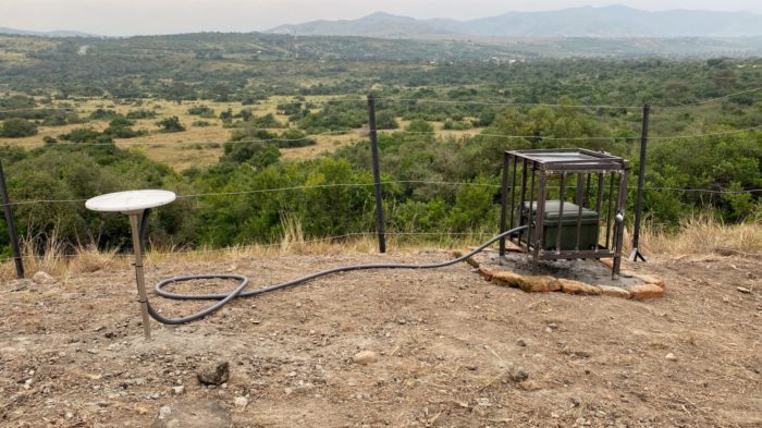
Africa hosts the world’s most extensive subaerial rift system on Earth known as the East African Rift System (EARS). It stretches over 5000 km from the Red Sea and Gulf of Aden intersection in the north to the Southwest Indian Spreading Ridge south of South Africa. East-West, the EARS spans the eastern border of the Democratic Republic of Congo across to eastern Madagascar over 3000 km. The ...[Read More]
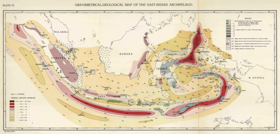
Around the world with Professor Vening Meinesz onboard the submarine K-XVIII: Exploration of the Solid Earth

On 14th of November 1934, the Dutch travelled to the harbor of Den Helder situated in the north of the Netherlands to catch a glimpse of the departure of Hr. Ms. K-XVII: A submarine of the Royal Dutch Navy setting sail on a trip around the world. Onboard was a unique traveler and with his non-typical height of 2 meters tall, he towered above the average submarine sailor. Professor Vening Me ...[Read More]
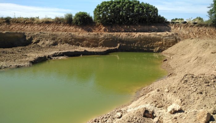
A look beneath Earth’s surface: monitoring groundwater from space
Groundwater is one of the most important resources of freshwater for ecosystems and mankind. Because of this fundamental role in the Earth’s water and energy cycles, groundwater has been declared as an essential climate variable by GCOS, the Global Climate Observing System. As with other subsurface processes, it is difficult to observe and monitor on a global scale. This is especially true if you ...[Read More]


