We are excited to announce the 16th edition of Geodesy Campfire – Share Your Research in February. The Geodesy EGU Campfire Events “Share Your Research” give (early career) researchers the chance to talk about their work. We have two exciting talks by our guest speakers, Matthias Willen and Joshua Dreyer. Below, you can find the details of the topics awaiting us. We will have time to network after ...[Read More]
Bits and Bites of Geodesy – Satellite altimetry: What else can we do with it?
In the previous post of this series, we learned how we can use satellite radar altimetry to retrieve highly accurate estimates of global sea level changes. If only reading “sea level” triggers your climate anxiety – we got you covered! In this post we will introduce you to three more applications of radar altimetry, where the first two are not directly connected to climate change. Instead, w ...[Read More]
Calculating postglacial sea-level change within few seconds: a statistical emulator for GIA

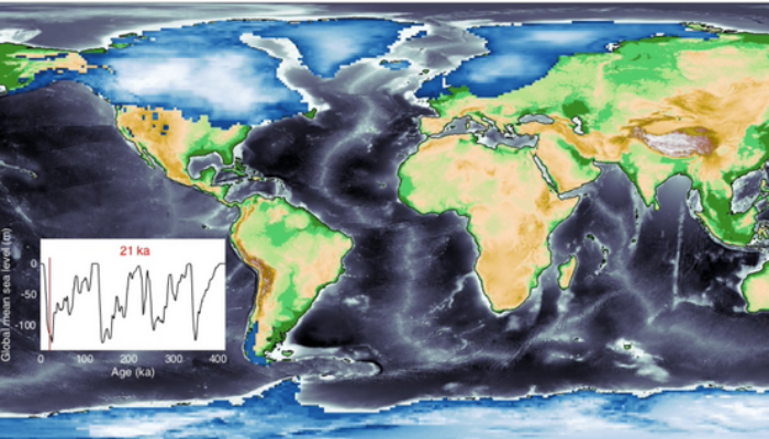
Sea-level change serves as a direct indicator of climate change with profound implications for coastal areas. Since 1900, the global mean sea level (GMSL) has risen over 20 cm, leading to beach erosion, delta inundation, and increased flooding worldwide. Over glacial cycles spanning tens of thousands of years, interactions between ocean and continental-scale ice sheets can cause GMSL to fluctuate ...[Read More]
Postdoc Diaries: Challenges of Postdoc Life
Hello, it’s us again! Coming back from the holidays, there couldn’t be a more fitting way to kick off a new blog season than by delving into the world of postdocs or to put it more precisely, by stepping into the shoes of a postdoc. As we try to reacquaint ourselves with our daily routines, I think it’s a perfect moment to empathise with those navigating postdoctoral life’s uniqu ...[Read More]


