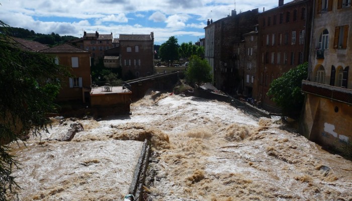
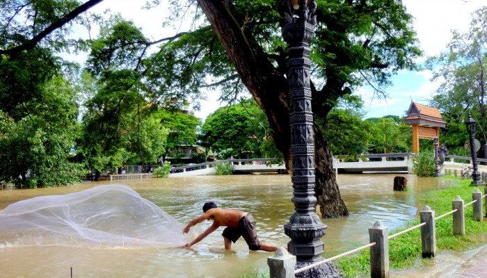
As evidenced by the EU Floods Directive (2007/60/EC), flood management strategies in Europe have undergone a shift in focus in recent years. The goal of flood prevention using structural measures has been replaced by an emphasis on the management of flood risks using non-structural measures. One implication of this is that public authorities alone not only take responsibility for flood management. A broader range of stakeholders, who may personally experience the negative effects of flooding, also take on responsibility for protecting themselves. Therefore, it is vital that information concerning flood risks is conveyed to those who may be affected in order to facilitate the self-protection of citizens. Experience shows that problems persist even where efforts have been made to communicate flood risks.
There is a need for the development of new tools that are able to rapidly disseminate flood-risk information to the general public. To be useful these tools must be able to present information relevant to the location of the user. Moreover, the content and design of the tool need to be adjusted to laypeople’s needs. Dissemination and communication influence both people’s access to and understanding of natural risk information. Such a tool could be a useful aid to effective management of flood risks.
To address this gap, a web-based geographical information system (WebGIS) has been developed through the collaborative efforts of a group of scientists, hazard and risk analysts and managers, GIS analysts, system developers and communication designers.
This tool, called “READY: Risk, Extreme Events, Adaptation, Defend Yourself”, aims to enhance the general public knowledge of flood risk, making citizens more capable of responding appropriately during a flood event. The READY WebGIS has allowed for the visualization and easy querying of a complex hazard and risk database thanks to a high degree of interactivity and easily read maps. In this way, READY has enabled fast exploration of alternative flood scenarios or past calamitous events. Combined also with a system of graphic symbols designed ad hoc for communication of self-protection behaviours, it is believed READY could lead to an increase in citizen participation, informed discussion and consensus building.
The platform has been developed for a site-specific application: the Basilicata region, Italy, has been selected as pilot application area. The goal of the prototype is to raise citizen awareness of flood risks and to build social capacity and enhanced resilience to flood events.
Read the whole paper here: Albano, R., Sole, A., and Adamowski, J.: READY: a web-based geographical information system for enhanced flood resilience through raising awareness in citizens, Nat. Hazards Earth Syst. Sci., 15, 1645-1658, doi:10.5194/nhess-15-1645-2015, 2015.
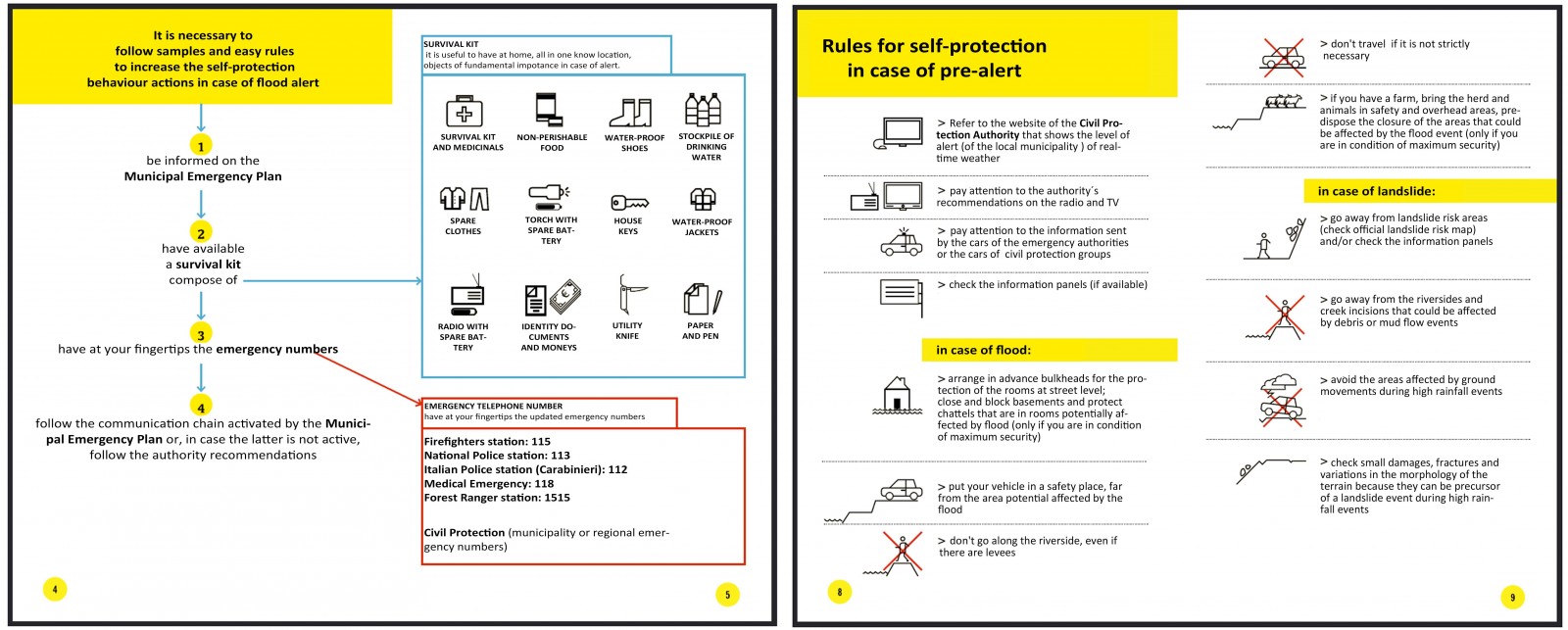
Example of the recommendations, provided by the READY platform, for behavioural actions in case of alert, intended for selfprotection enhancement.