EGU Blogs

6004 search results for "6"

G

Beyond Navigation: How GNSS Reveals Earth’s Hidden Secrets

Beyond Navigation: How GNSS Reveals Earth’s Hidden Secrets

Part 2 – the regional case In our previous post, we discussed global scale phenomena, showing how the Global Navigation Satellite Systems (GNSS) constellation is the ultimate instrument for monitoring the Earth as a whole: tracking plate tectonics, defining the planet’s absolute size, and measuring variations of its gravity field. Essentially, the big questions of …[Read More]

GM

A Free Tool That Maps Ancient Coastlines Like an Expert

A Free Tool That Maps Ancient Coastlines Like an Expert

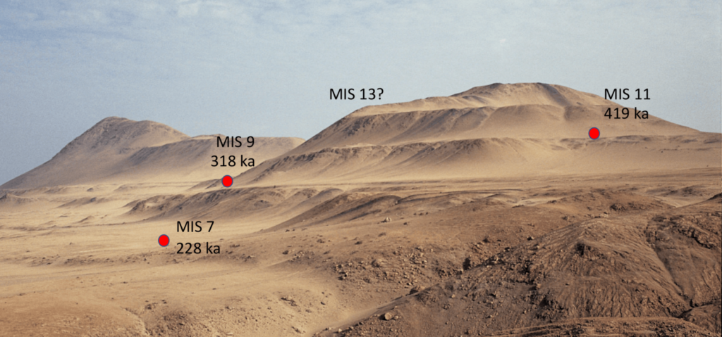
by Julius Jara Muñoz, Professor of Engineering Geology at the University of Applied Sciences Biberach (Hochschule Biberach), Germany. Email: jara@hochschule-bc.de, website: https://www.hochschule-biberach.de/kontakt/julius-jara-munoz. “Reproducibility is a cornerstone of the scientific method, yet measuring ancient coastlines has long depended on expert judgment – until now”. Coastlines are highly dynamic systems controlled by sea-level changes and surface deformation. Over thousands …[Read More]

NP

ECS Spotlight: When “Day Zero Drought” Dries the Tap: How Drought is Reshaping Water Scarcity in the Anthropocene

ECS Spotlight: When “Day Zero Drought” Dries the Tap: How Drought is Reshaping Water Scarcity in the Anthropocene

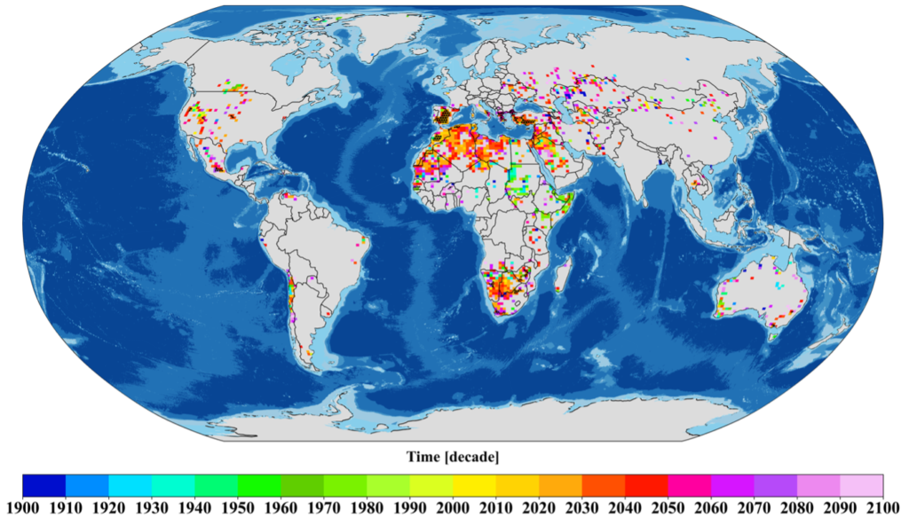
Extreme events are becoming increasingly observable, intense, and interconnected. Drought, traditionally viewed as a regional and temporary phenomenon, is now undergoing a fundamental shift.  We introduce the concept of “Day Zero Drought” to describe a threshold where water demand exceeds available supply under persistent drought conditions. This study shows that water scarcity is no longer …[Read More]