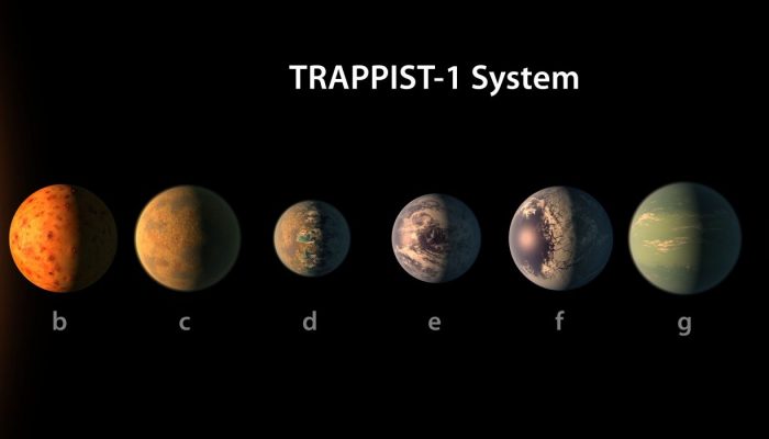
Drawing inspiration from popular stories on our social media channels, as well as unique and quirky research news, this monthly column aims to bring you the best of the Earth and planetary sciences from around the web. Major story Undoubtedly the story of the month is the discovery of a star system of seven Earth-sized planets just 40 light-years away from our own. What makes the finding so excit ...[Read More]
If you didn't find what you was looking for try searching again.
Geomorphology
11th Intern. Young Geomorphologists’ Workshop 2017, 19.-21. May 2017, Ammersee, Germany
This year, the Young Geomorphologists from Germany invite all interested young researchers / students in geomorphology and related fields to join the 11th international Young Geomorphologists’ workshop at Ammersee, Germany, held from 19th-21st May 2017. The venue is located at a lake ca. 1 hour southwest of Munich. In a mixture of oral presentations, posters, a keynote and a short fieldtrip, ...[Read More]
GeoLog
Get involved: become an early career scientist representative
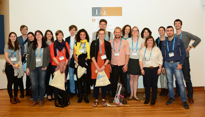
Early career scientists (ECS) make up a significant proportion of the EGU membership and it’s important to us that your voices get heard. To make sure that happens, each division appoints an early career scientists representative: the vital link between the Union and the ECS membership. After tenure of two or four years, a few of the current ECS Representatives are stepping down from their post at ...[Read More]
GeoLog
Imaggeo on Mondays: America’s dead sea
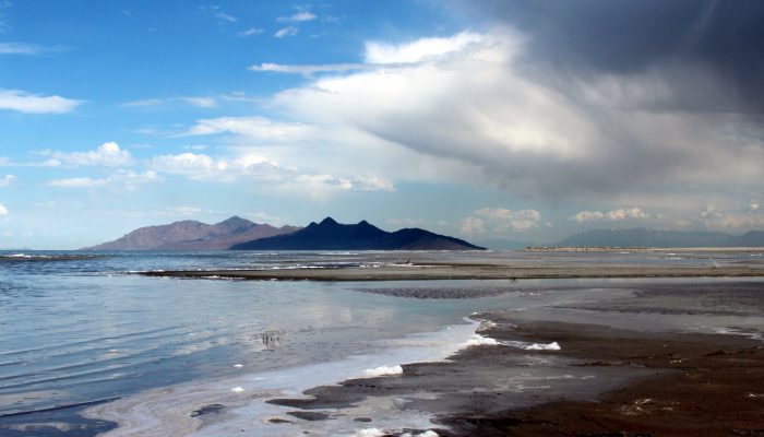
On the blog today, Jennifer Ziesch, a researcher at the Leibniz Institute for Applied Geophysics, takes us on a tour of the Great Salt Lake, located in the north of Salt Lake City (Utah). Did you know it is one of the largest salt water lakes in the world? The large salt lake and Salt Lake City, named after the lake, lie on a flat plain about 1300 m above sea level. The salt lake is bordered to th ...[Read More]
GeoLog
GeoPolicy: Making a case for science at the United Nations
This month’s GeoPolicy is a guest post by the International Council for Science (ICSU). Based in Paris, the organisation works at the science-policy interface on the international scale. Here, Heide Hackmann, Executive Director at ICSU, highlights key initiatives ensuring science is present within the United Nations (UN) and explains how ICSU and the scientific community can support these pr ...[Read More]
GeoLog
Geosciences Column: Africa’s vulnerability to climate change
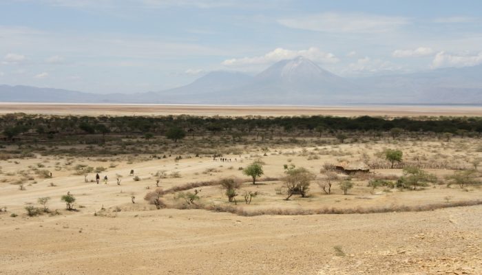
Ravaged by armed conflicts, a deep struggle with poverty, poor governance and horizontal inequality, some parts of Africa and other Global South regions are arguably the most vulnerable to the impacts of climate change. Largely reliant on natural resources for sustenance, current and future changes in temperatures, precipitation and the intensity of some natural hazards threaten the food security, ...[Read More]
GeoLog
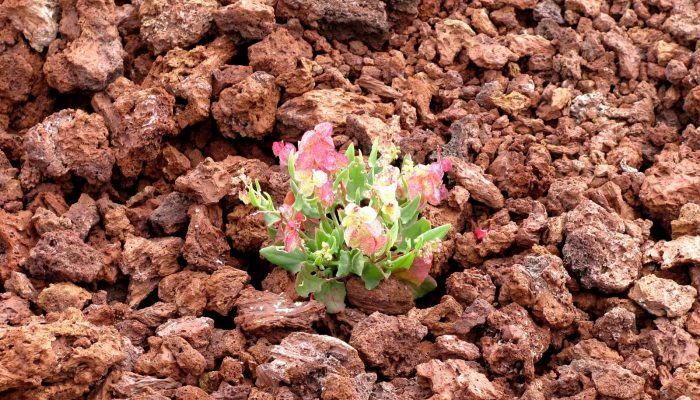
Imaggeo on Mondays: Life on bare lava
There are plenty of hostile habitats across the globe but some flora and fauna species are resourceful enough to adapt and make extreme environments their home. From heat-loving ants of the Sahara to microbes living in the light-deprived ocean depths, through to beatles who brave the bitterly cold Alaskan winter, there are numerous examples of plants, animals and bugs who strive in environments of ...[Read More]
GeoLog
January GeoRoundup: the best of the Earth sciences from across the web
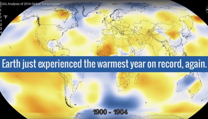
The start of the new year sees the launch of a new series here on GeoLog. Drawing inspiration from popular stories on our social media channels, as well as unique and quirky research news, this monthly column aims to bring you the best of the Earth and planetary sciences from around the web. Major stories One of the biggest stories of this month was the anticipated release of the average global su ...[Read More]
Seismology
Paper of the Month – Bubbles and seismic waves
Our paper of the month is “Bubbles attenuate elastic waves at seismic frequencies: First experimental evidence” (N. Tisato et al., 2015) commented by Luca De Siena. Luca De Siena is Lecturer in Geophysics at the School of Geoscience, University of Aberdeen (UK). He received his PhD from the University of Bologna (Italy) with a scholarship from the INGV-Osservatorio Vesuviano for his work on seism ...[Read More]
Cryospheric Sciences
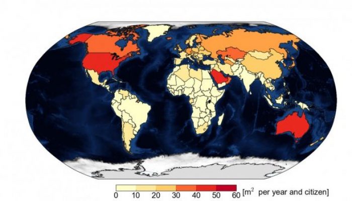
Image of the Week – For each tonne of CO2 emitted, Arctic sea ice shrinks by 3m² in summer
Declining sea ice in the Arctic is definitely one of the most iconic consequences of climate change. In a study recently published in Science, Dirk Notz and Julienne Stroeve find a linear relationship between carbon dioxide (CO2) emissions and loss of Arctic sea-ice area in summer. Our image of this week is based on these results and shows the area of September Arctic sea ice lost per inhabitant d ...[Read More]

