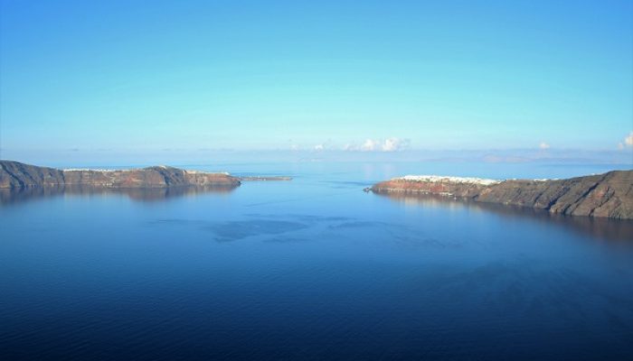
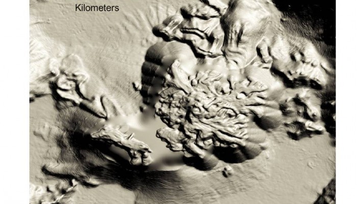
The flooded caldera of Santorini volcano holds many secrets, buried beneath the ash and pumice of its last great eruption. In the Late Bronze Age, about 3600 years ago, an explosive eruption several times larger that of Krakatoa, 1883, wreaked devastation across this thriving island. A great trading port, Akrotiri, was buried under metres of pumice; preserving for future generations a snapshot of ...[Read More]
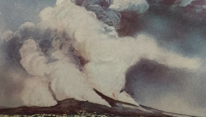
The first volcanic eruption to be photographed?
In the digital era of instant communication, breaking news of volcanic eruptions usually arrive image-first. This year, spectacular eruptions of Calbuco (Chile), Fuego (Guatemala) and Etna (Italy) have all made it into the end-of-year ‘top tens‘, in glorious multicolour detail. But when was the first photograph taken that captured one instant during a volcanic eruption? And which was t ...[Read More]
Volcanoes of the Ethiopian Rift Valley
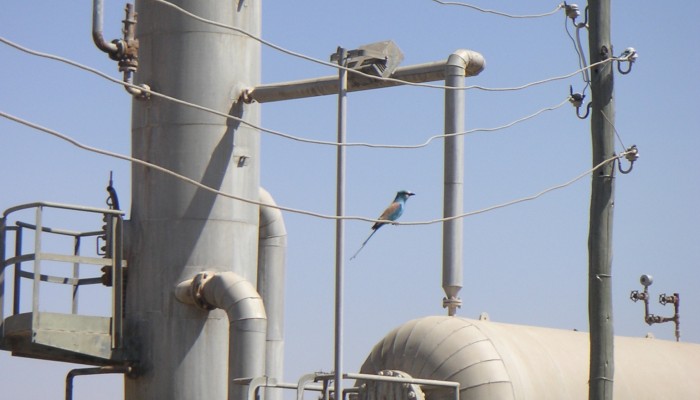
The great Rift Valley of Ethiopia is not only the cradle of humankind, but also the place on Earth where humans have lived with volcanoes, and exploited their resources, for the longest period of time. Perhaps as long ago as 3 Million years, early hominids began to fashion tools from the volcanic rocks from which the Rift Valley was floored, including basalt and obsidian. The Ethiopian Rift Valley ...[Read More]
Energy Poverty and Geothermal Energy Futures
Ethiopia is one of the most impoverished nations in the world, in terms of the number of people who live without access to electricity. The World Energy Outlook reported that in 2014, 70 million people in Ethiopia, or 77% of the population, have no access to electricity. Ethiopia is also one of the more volcanically-active regions of the world, with 65 volcanoes or volcanic fields that are thought ...[Read More]
Taking the pulse of a large volcano: Mocho-Choshuenco, Chile
As the recent eruptions of Calbuco and Villarrica in southern Chile have shown, the long arcs of volcanoes that stretch around the world’s subduction zones have the potential to cause widespread disruption to lives and livelihoods, with little or no warning. Fortunately, neither of these eruptions has, so far, led to any reported loss of life – but the consequences of these eruptions ...[Read More]
The great eruption of Tambora, April 1815
April 2015 marks the 200th anniversary of the great eruption of Tambora, on Sumbawa island, Indonesia. This eruption is the largest known explosive eruption for at least the past 500 years, and the most destructive in terms of lives lost, even though the precise scale of the eruption remains uncertain. The Tambora eruption is also one of the largest known natural perturbations to the climate syste ...[Read More]
Villarrica erupts. March 3, 2015, Chile.
Villarrica (Ruka Pillan in Mapudungun) is one of the most active volcanoes of southern Chile, and is a popular tourist destination in the heart of the Chilean Lake district. Villarrica has been in a continuous state of steady degassing for much of the past 30 years, since the last eruption in 1984-5, and began showing signs of increased unrest (seismicity, and visible activity in the summit ...[Read More]
The destruction of St Pierre, Martinique: 8 May, 1902
May 8th marks the anniversary of one of the worst volcanic disasters on record: the destruction of St Pierre, Martinique, in 1902, at the climax of the eruption of Mont Pelée. Below are a snapshot of images from one of the contemporary accounts of the disaster, ‘The volcano’s deadly work‘, written by Charles Morris in 1902. This eruption followed just one day after a similarly de ...[Read More]
Growth of the Kameni Islands Volcano, Santorini, Greece
A new paper, published in the journal GeoResJ, reveals the intricate details of the volcanic Kameni islands that lie in the flooded caldera of Santorini, Greece. The Kameni islands started growing shortly after the explosive eruption that formed much of the present day caldera. For the past 3500 years or so these islands have grown in pulses, with each new eruption adding more material to the edif ...[Read More]
Update on the eruption of Gunung Kelud
The dramatic eruption of Gunung Kelud, or Kelut, led to a flurry of images of ash appearing on many social media platforms, including Flickr, Instagram and Twitter. As an experiment in a volcanology class, we sought out images that we could locate on a map, and by classifying the ash deposits as ‘light’, ‘moderate’ or ‘heavy’, generated a very rough contour map ...[Read More]

