Each month, Jesse Zondervan picks his favourite posts from geoscience and development blogs/news which cover the geology for global development interest. Here’s a round-up of Jesse’s selections for the last month: Imagine 140 million people across sub-Saharan Africa, south Asia and Latin America migrating in response to climate change effect, by 2050. This is what a recent World Bank report claims ...[Read More]
Climate migration needs to be predicted and planned now. Geoengineering can slow down sea level rise but could also lead to international conflicts. CO2 as a natural resource. All in Jesse Zondervan’s Mar 8 – Apr 4 2018
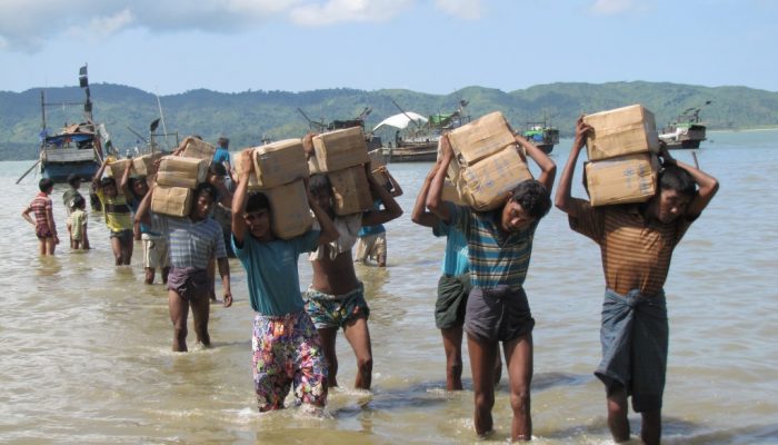
Climate migration will be mainly internal, but in huge numbers and will need to be planned. . Credit: Mathias Flick (distributed via Flickr, CC BY-ND 2.0).