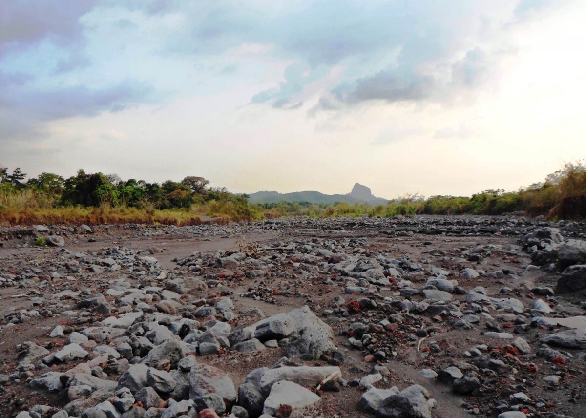
Lahars at Volcan de Fuego, Guatemala.
This image captures a lahar [mudflow] deposit close to Volcan de Fuego. These deposits are formed when rain mobilises ash and pyroclastic material on the volcano to form a fast moving, powerful mudflow with the ability to transport material including large boulders. As the energy dissipates, the sediment is deposited as we see above.
Difficult to see in this image, but a tragic reality, is that this lahar destroyed a road. This road was a vital piece of infrastructure to allow evacuation from an erupting volcano, and without it many people will find evacuation very difficult. Lahars, alongside pyroclastic flows, are two of the most significant and destructive volcanic hazards associated with Volcan de Fuego.
You can read more about Fuego and its secondary hazards online here.
(Credit: Geology for Global Development, 2014)
—-
Every Friday we are publishing an image from Guatemala to promote our ‘100 x 100’ fundraising campaign. We are working with students, recent graduates and others in the UK to raise money to support efforts to reduce the impact of volcanic hazards in Guatemala.
Find out more: www.gfgd.org/guatemala
Register your interest: Submit your information here