After 2 months based in Guatemala undertaking hazards research, I am soon to return home. I will be continuing this series of posts over the next few months, reflecting on aspects of conducting research overseas and thinking through results. Guatemala is a stunningly beautiful country, with a dynamism reflected in everything from the landscapes to the markets. Everybody I have met has been incredibly kind and generous with their time, always willing to share their experience and knowledge. Today I share a selection of photographs from the my time here…

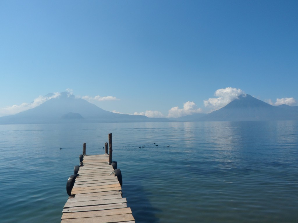
Lake Atitlan, with Volcanoes Toliman (left) and San Pedro (right).

Cathedral Ruins in Antigua. The Cathedral was destroyed by an earthquake in 1773.

A community within Guatemala City, living on steep slopes vulnerable to landsliding.

Small eruption of Fuego, one of Guatemala’s currently active volcanoes.

Lava flows from the 2010 eruption of Pacaya (which can also be seen in the background).

Eroded pyroclastic flow deposits, close to Fuego. This material feeds lahars, which are a serious hazard for many communities close to the volcano.

Early morning eruption of Santiaguito, as seen from Santa Maria.
All photos Credit: Joel Gill, 2014

Joel is the Founder/Director of
Geology for Global Development (
@Geo_Dev) an organisation working to support geologists to make a sustainable contribution to the fight against global poverty. He is an
interdisciplinary researcher, with a PhD in geography (natural hazards), and research interests in multi-hazard frameworks, disaster risk reduction, rural water projects, and sustainable development. This work has taken him to Chile, China, Guatemala, India, South Africa, Tanzania and Uganda. Joel is currently based at the British Geological Survey, and tweets at
@JoelCGill.


