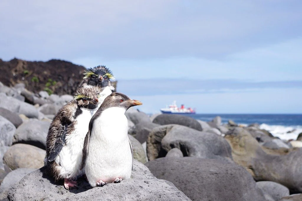
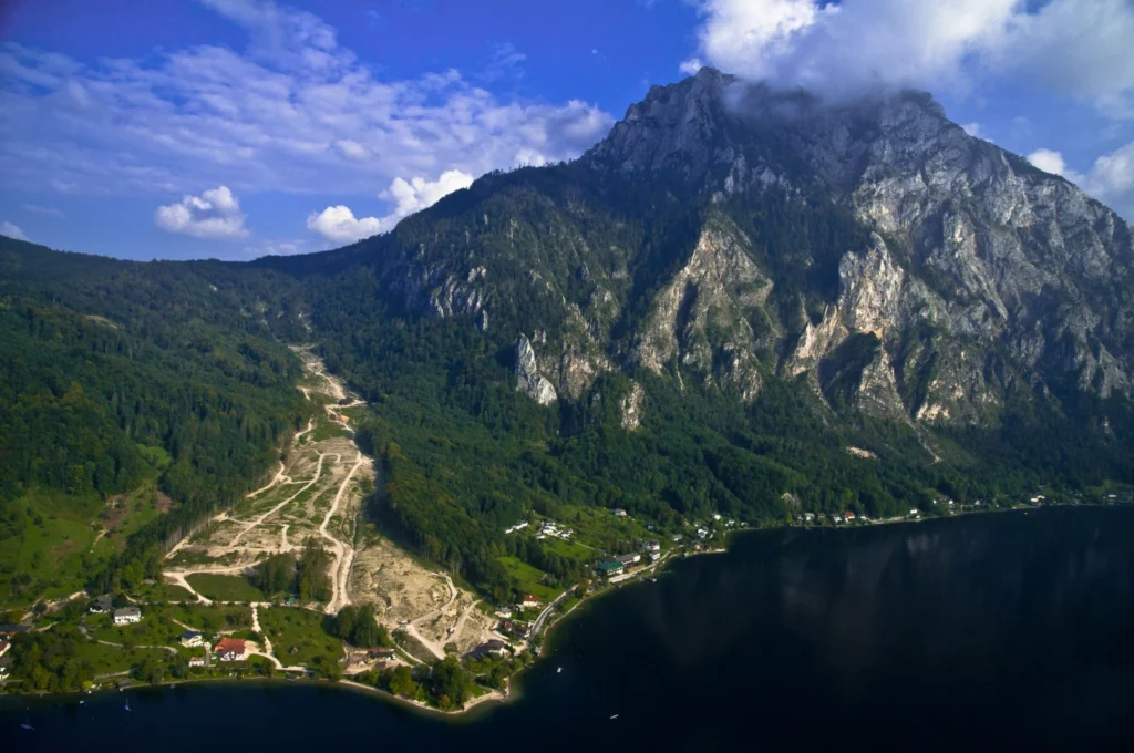
Tristan da Cunha is a remote volcanic island in the south Atlantic Ocean. In fact, it is the most remote inhabited archipelago in the world. Tristan is still volcanically active; the last time it erupted was in 1961. After the eruption, which luckily did not have any casualties, the whole population of around 260 people evacuated the island for some time, but they all returned back to the island b ...[Read More]
April GeoRoundUp: the best of the Earth sciences from the 2018 General Assembly
The 2018 General Assembly took place in Vienna last month, drawing more than 15,000 participants from 106 countries. This month’s GeoRoundUp will focus on some of the unique and interesting stories that came out of research presented at the Assembly. Mystery solved The World War II battleship Tirpitz was the largest vessel in the German navy, stationed primarily off the Norwegian coastline as a fo ...[Read More]
Shaking in the city
Bruce Springsteen was playing at Barcelona’s football stadium on 14th May 2016. 65,000 people were there to hear him as he launched into an encore including “Born in the USA”, “Dancing in the Dark” and “Shout”. But unknown to Springsteen, just 500 metres away, in the basement of the Institute of Earth Sciences Jaume Almera (ICTJA), Jorde Díaz and his colleagues were also listening in via their bro ...[Read More]
Imaggeo on Mondays: Chilean relics of Earth’s past
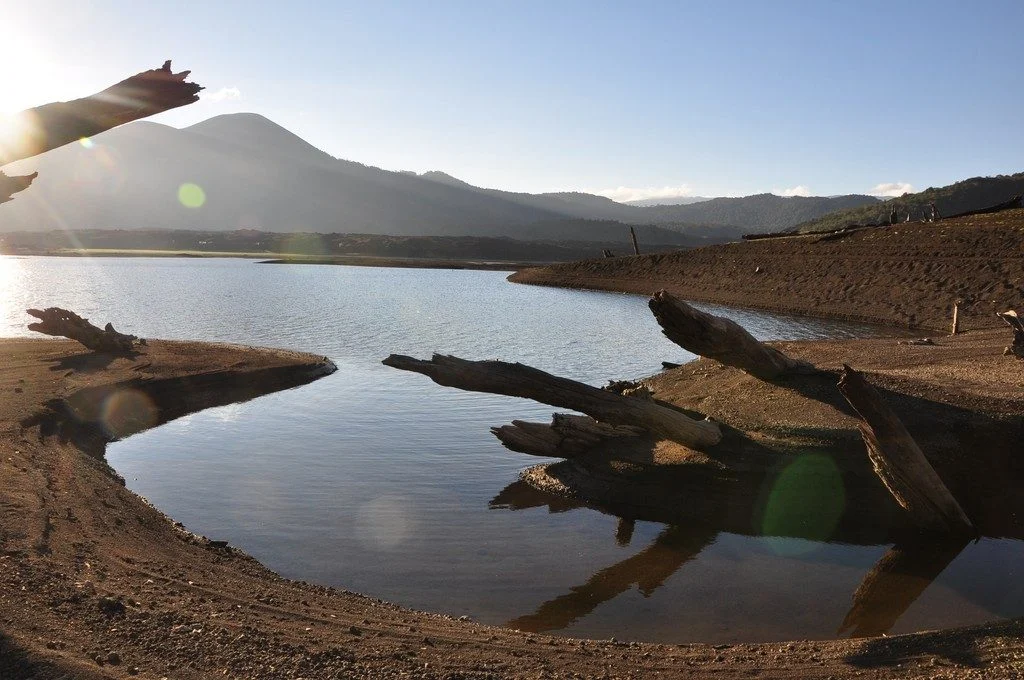
As Earth’s environment changes, it leaves behind clues used by scientists to paint portraits of the past: scorched timber, water-weathered shores, hardened lava flows. Chile’s Conguillío National Park is teeming with these kind of geologic artifacts; some are only a few years old while others have existed for more than 30 million years. The photographer Anita Di Chiara, a researcher at Lancaster U ...[Read More]
Is it an earthquake, a nuclear test or a hurricane? How seismometers help us understand the world we live in
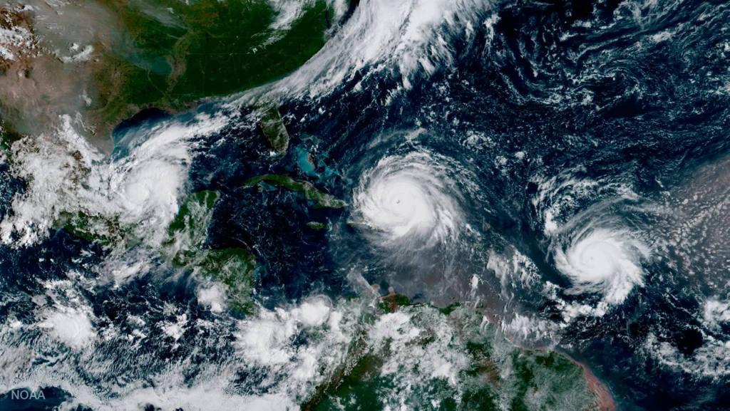
Although traditionally used to study earthquakes, like today’s M 8.1 in Mexico, seismometers have now become so sophisticated they are able to detect the slightest ground movements; whether they come from deep within the bowels of the planet or are triggered by events at the surface. But how, exactly, do earthquake scientists decipher the signals picked up by seismometers across the world? And mo ...[Read More]
Imaggeo on Mondays: Sediments make the colour
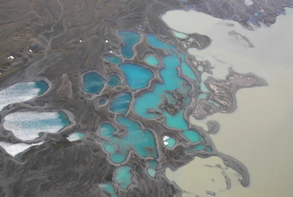
Earth is spectacularly beautiful, especially when seen from a bird’s eye view. This image, of a sweeping pattern made by a river in Iceland is testimony to it. The picture shows river Leirá which drains sediment-loaded glacial water from the Myrdalsjökull glacier in Iceland. Myrdalsjökull glacier covers Katla, one of Iceland’s most active and ice-covered volcanoes. A high sediment load (the suspen ...[Read More]
GeoSciences Column: Can seismic signals help understand landslides and rockfalls?
From the top of a small gully in the French Alps, a 472 kg block is launched into the chasm. Every detail of it’s trajectory down the slope is scrutinised by two cameras and a network of seismometers. They zealously record every bounce, scrape and tumble – precious data in the quest to better understand landslides. What makes landslides tick? In 2016, fatalities caused by landslides tipped 2 ...[Read More]
GeoTalk: Beatriz Gaite on why videos are a great tool for communicating your research to a broad audience
If you’ve not heard about our Communicate Your Science Video Competition before it gives early career scientists the chance to produce a video up-to-three-minutes long to share their research with the general public. The winning entry receives a free registration to the General Assembly the following year. In this GeoTalk interview, Laura Roberts talks to Beatriz Gaite an early career scientist wh ...[Read More]
Shaking on Christmas Day: what we know about the 7.6 M Chile earthquake
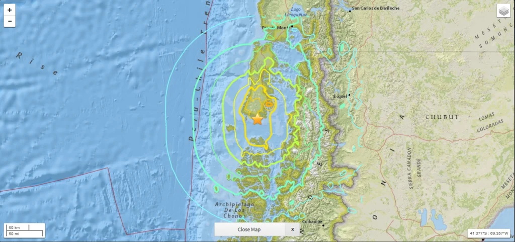
While the majority of us were midway through our Christmas Day celebrations, a powerful 7.6 M earthquake struck off the western coast of the Chile. Natural hazards are not bound by time, location or festivities; an earthquake can happen at any time in any place, regardless of the significance of the day. As a result, in this earthquake prone region, raising awareness of the risk posed by natural h ...[Read More]
Imaggeo on Mondays: Aoraki & a round-up of the latest New Zealand earthquake news
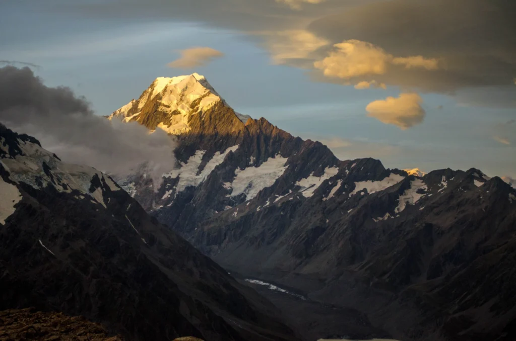
On Sunday the 13th November, New Zealand’s South Island was struck by a powerful 7.8 M earthquake. Initial analysis by the United States Geological Survey (USGS) indicates that the source of the tremor was faulting on or near the boundary between the Pacific and Australia plates. A tsunami alert (no longer active) was triggered following the earthquake, with risk of tsunami waves along coastal are ...[Read More]