Cyclone Idai, which was labelled by the UN as possibly the worst climate calamity to ever hit the Southern Hemisphere, pounded Beira, Mozambique, in March 2019. The European Space Agency images revealed that a huge new inland ´lake´ measuring about 80 miles by 15 miles, an area the size of the European state of Luxembourg, had suddenly been created by the catastrophe. However, millions of residen ...[Read More]
Cyclone Idai disaster: European agencies foresee climate danger but poor countries stumble.

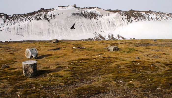
Summer on the Northern Hemisphere. Credit: Maximilian Reuter (distributed via imaggeo.egu.eu)