GeoLog

Greenland ice sheet

Imaggeo on Mondays: Science in the Arctic trenches

Imaggeo on Mondays: Science in the Arctic trenches

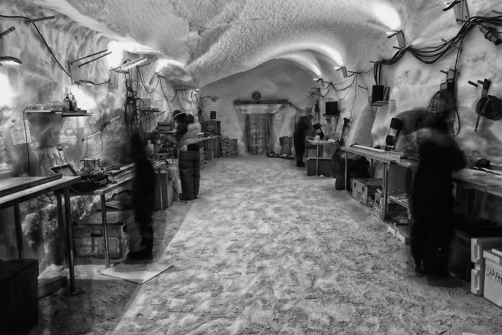
Pictured here are climate scientists processing ice core samples in the East Greenland Ice-core Project (EastGRIP) science trench 10 m under the surface of the Greenland ice cap. The trenches of this ice core camp require minimum building materials, utilising giant inflatable balloons that are dug in and covered with snow. The snow is left …[Read More]

Imaggeo on Mondays: Heavy machinery

Imaggeo on Mondays: Heavy machinery

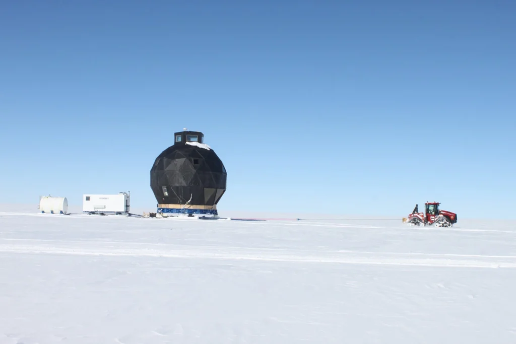
How do you get heavy machinery, such as a drill spool onto an ice sheet? This week’s imaggeo on Mondays’ photography captures the freighting of components of a hot water drill to directly access and observe the physical and geothermal properties at the ice-bed interface. In the image, SAFIRE principal investigator Bryn Hubbard and post-doc Sam Doyle help fly in the …[Read More]

Imaggeo on Mondays: Just Passing

Imaggeo on Mondays: Just Passing

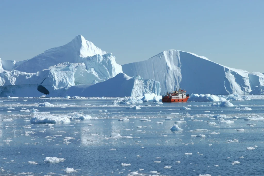
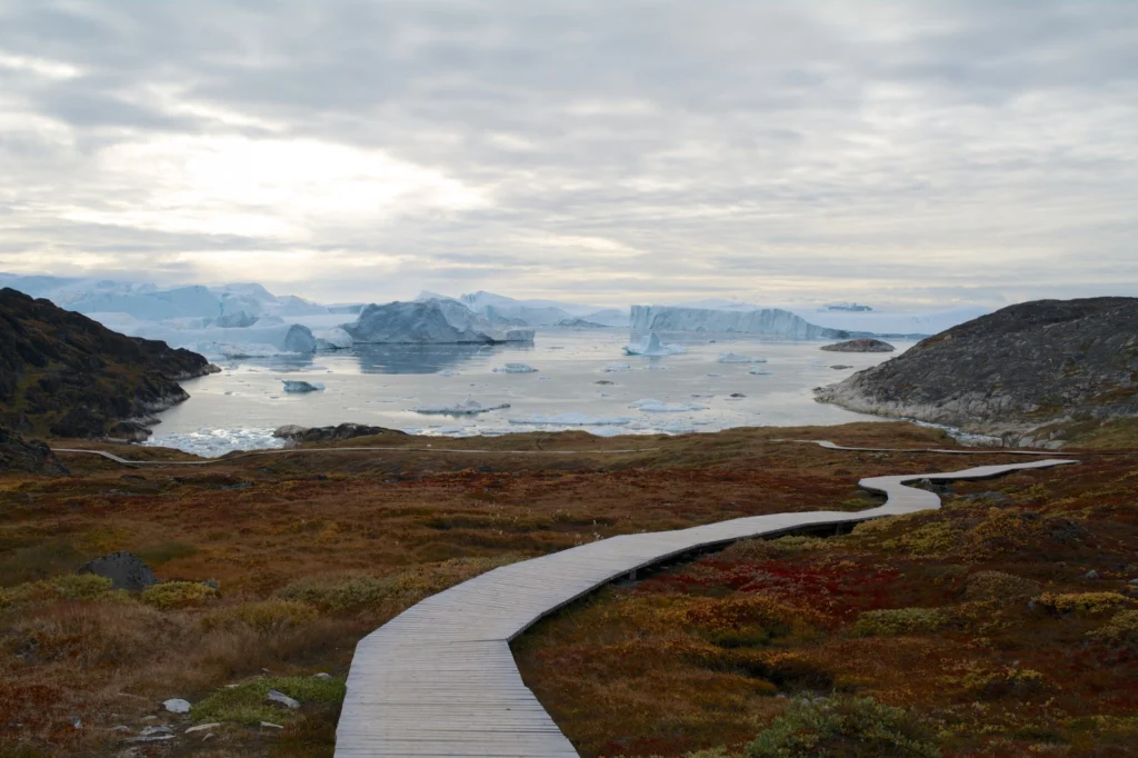
If lucky enough to visit Ilulissat Icefjord, you’d find yourself in a truly ancient landscape. From the up to 3.9 billion year old Precambrian rocks, to ice dating back to the Quaternary Ice Age (2.6 thousand years old) and archaeological remains which evidence the past settlement of this remote Greenlandic outpost, it’s no surprise this …[Read More]

Imaggeo on Mondays: Getting a handle on Greenland’s glaciers

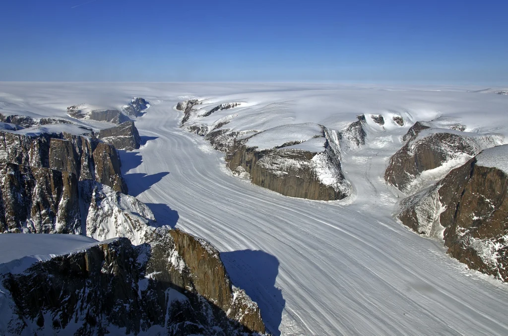
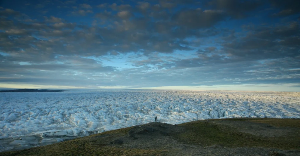
The picture below shows several small glaciers surrounding the Greenland ice sheet, in Tassilaq, near Kulusuk, East Greenland. The dark lines are glacial moraines, responsible for the transport of rock material from mountains towards sea. The photographer, Romain Schläppy, highlights that “an important scientific topic consists to place the recent and ongoing Greenland warming in …[Read More]