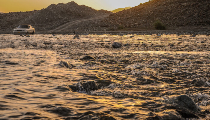
Floods are powerful natural events that can wreak havoc on communities and ecosystems. Every year, millions of people are affected by floods, leading to loss of life, damage to homes, and disruption of daily life. This blog post explores a new method for quickly mapping flood zones and predicting their impacts. To help communities and decision-makers better prepare, the authors of a recent publica ...[Read More]
Higher Education Resource: River Flood Hazard Modelling & Management
The European Geosciences Union (EGU) supports bringing science into the classroom at all learning levels, from schools to universities. Since the Higher Education Teaching Grant programme launched in 2020, EGU has funded 24 projects to develop useful and freely-available geoscience resources to university educators. This blog is part of a series of blogs highlighting the innovative and accessible ...[Read More]
Imaggeo On Monday: Reflections in floodwater

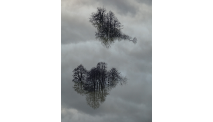
This picture shows several trees and the sky reflecting in floodwater during an event that occured in February 2019 in front of the famous Postojna cave (Slovenia). In Slovenian karst areas, floods are considered as a very common natural phenomenon that can occur several times per year. While most of them are not harmful for local people, the most severe events cause considerable damages and might ...[Read More]
Imaggeo on Mondays: The polje between sky and Earth

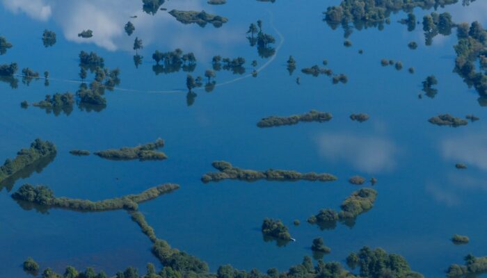
Poljes are one of the most impressive features existing in karst landscapes. These large flat closed depressions are prone to regular flooding that can form temporary lakes on their surface. Planinsko Polje [in Slovenia] is surely the most famous example of polje existing. The highest floods can reach up to 8 metres above the gauging station and last for more than two months. The lake is then more ...[Read More]


