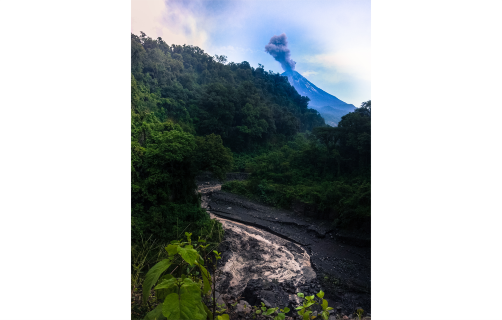
Volcán de Colima currently is the most active volcano in Mexico where many rain-induced lahars occur every year. La Lumbre ravine is the ephemeral channel that drains the west-southwestern slopes of the volcano. In 2016, while Volcán de Colima experienced a prolonged explosive phase, several lahars were documented in this channel. One of them is shown in his picture, taken on August 13, 2016, du ...[Read More]
eruption
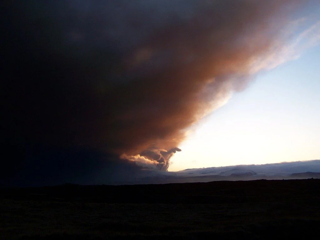
Imaggeo on Mondays: The ash cloud of Eyjafjallajökull approaches
This photo depicts the famous ash cloud of the Icelandic volcano Eyjafjallajökull, which disrupted air traffic in Europe and over the North Atlantic Ocean for several days in spring 2010. The picture was taken during the initial phase of the eruption south of the town of Kirjubæjarklaustur, at the end of a long field work day. Visibility inside the ash cloud was within only a few metres. The erupt ...[Read More]
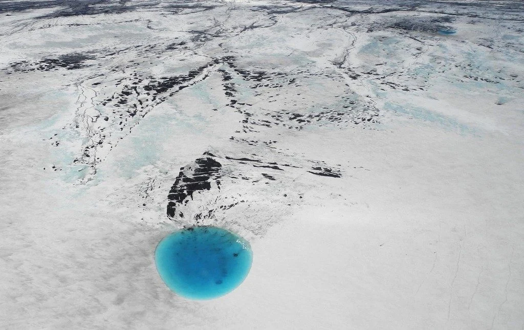
Imaggeo on Mondays: Hints of an eruption
The photograph shows water that accumulated in a depression on the ice surface of Vatnajökull glacier in southeastern Iceland. This 700m wide and 30m deep depression [1], scientifically called an ‘ice cauldron’, is surrounded by circular crevasses on the ice surface and is located on the glacier tongue Dyngjujökull, an outlet glacier of Vatnajökull. The photo was taken on 4 June 2016, less than 22 ...[Read More]
GeoTalk: How will large Icelandic eruptions affect us and our environment?
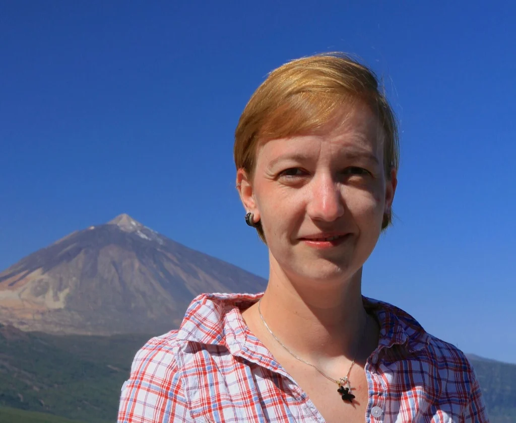
Geotalk is a regular feature highlighting early career researchers and their work. In this interview we speak to Anja Schmidt, an interdisciplinary researcher at the University of Cambridge who draws from atmospheric science, climate modelling, and volcanology to better understand the environmental impact of volcanic eruptions. She is also the winner of a 2018 Arne Richter Award for Outstanding Ea ...[Read More]
Imaggeo on Mondays: A lava layer cake
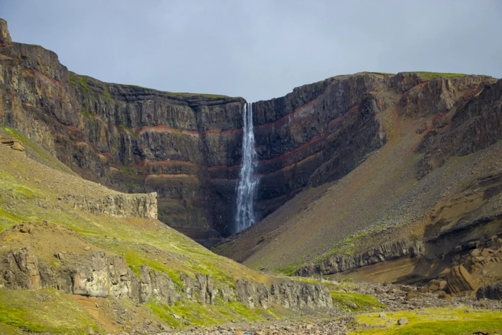
Brekkuselslækur, a small river, carves its way across Iceland’s ancient volcanic landscape. At Hengifoss, Iceland’s third-highest waterfall, it tumbles fiercely down thick, dark layers of lavas erupted from volcanoes some 18 to 2.58 million years ago, during a period of geological time known as the Tertiary. Eruptions are rarely continuous; during hiatuses in the extrusion of lavas, ash is able to ...[Read More]
Imaggeo on Mondays: In the belly of the beast
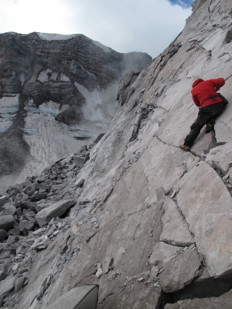
Conducting research inside a volcanic crater is a pretty amazing scientific opportunity, but calling that crater home for a week might just be a volcanologist’s dream come true, as Alexandra postdoctoral researcher at the Institut de Physique du Globe de Strasbourg, describes in this week’s Imaggeo on Mondays. This picture was taken from inside the crater of Mount St Helens, a stratovolcano ...[Read More]
Imaggeo on Mondays: “Vancouver! Vancouver! This is it!”
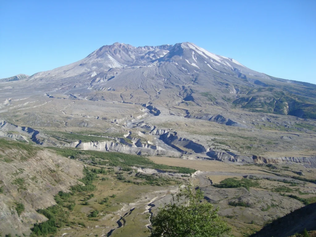
On May 18th 1980 Mount St Helens (an active stratovolcano of the Cascades located in the North West US), erupted explosively following a magnitude 5.1 earthquake. The quake triggered a devastating landslide which swept away the volcano’s northern flank – in what is the largest debris avalanche recorded on Earth to date. Removal of a section of the edifice depressurised the volcano’s magmatic ...[Read More]
Imaggeo on Mondays: A Bubbling Cauldron
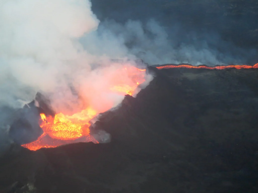
Despite being a natural hazard which requires careful management, there is no doubt that there is something awe inspiring about volcanic eruptions. To see an erupting volcano up close, even fly through the plume, is the thing of dreams. That’s exactly what Jamie Farquharson, a researcher at Université de Strasbourg (France) managed to do during the eruption of the Icelandic volcano Bárðarbunga. R ...[Read More]
Imaggeo on Mondays: Lusi from the sky with drones
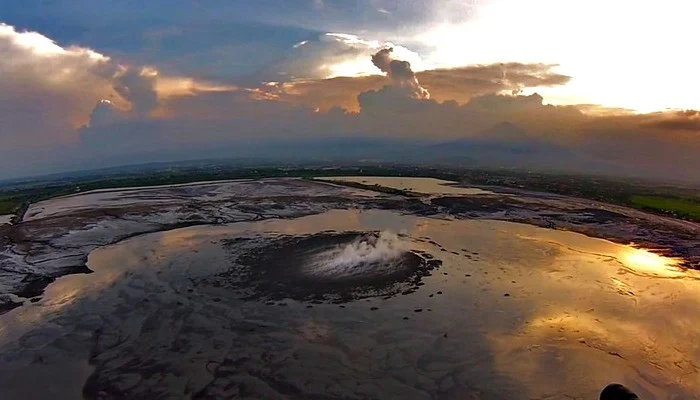
The picture shows a spectacular aerial view of a sunset over the Lusi mud eruption in East Java, Indonesia. Here thousands of cubic meters of mud, are spewed out every day from a 100 m sized central crater. Since the initial eruption of the volcano in 2006, following a 6.3 M earthquake, a surface of about 7 km2 has been covered by boiling mud, which has buried more than 12 villages and resulted in ...[Read More]
Geosciences Column: The Toba eruption probably did have a global effect after all
Almost everyone has heard of the Toba super-eruption, which took place on the island of Sumatra roughly 74,000 years ago, but the only evidence of tephra or tuff (volcanic fragments) from the eruption is in Asia, with nothing definite further afield. It has sometimes been thought that this huge eruption may have led to a volcanic winter, a period of at least several years of low temperatures follo ...[Read More]