The end of the Northern hemisphere summer tends to be a good time to regroup from natural hazards, as the frequency and intensity of storms, as well as the incidence of wildfires, tends to trail off. At the time of writing, however, Hurricane Willa had just crashed into Mexico, while Typhoon Yutu has just hit the Northern Mariana Islands so hard that any equipment designed to record wind-speed had ...[Read More]
A better framework for disasters

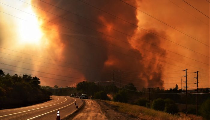
The 2018 Carr Fire that burned 229,651 acres in California. It's currently listed as the seventh-largest wildfire recorded in the state's modern history. (Photo: Bureau of Land Management California via Bureau of Land Management California)
