Yet another global guide to saving democracy, this time titled The Anti-Autocracy Handbook: A Scholars’ Guide to Navigating Democratic Backsliding, authored by an all-star cast of academics based in the U.S., Europe, and Australia. Because, clearly, when it comes to understanding the creeping rise of authoritarian regimes, who better to consult than experts who live and work in societies whe ...[Read More]
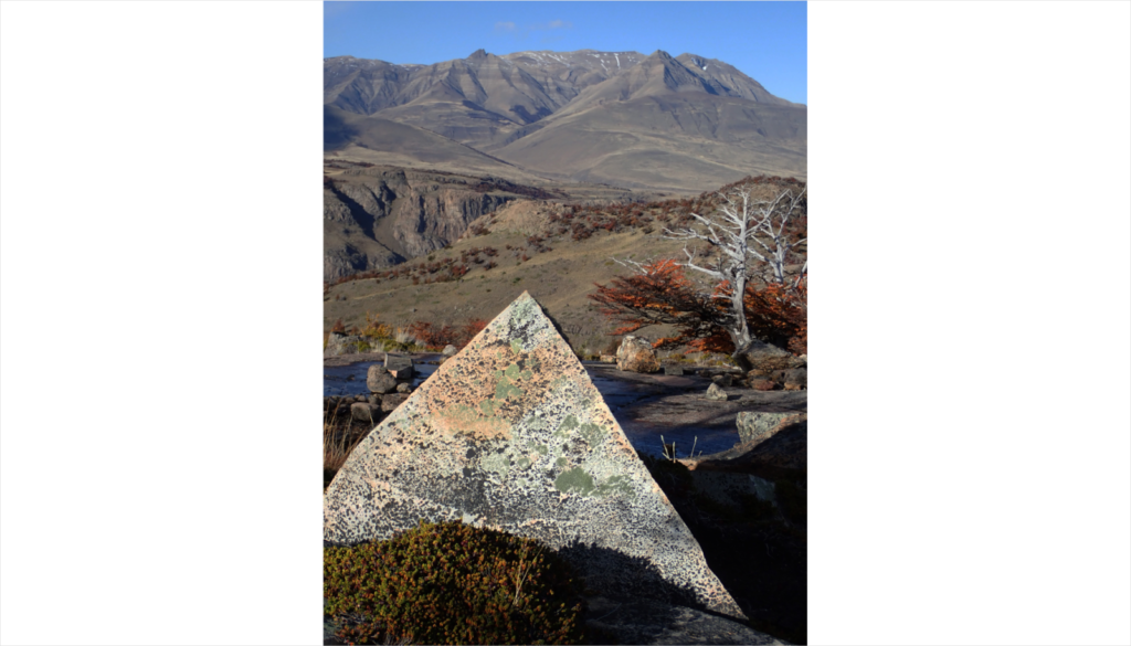
Imaggeo On Monday: Rock pyramid shaped by weathering
The almost perfect rock pyramid in the foreground was formed by physical weathering and found in the Los Glaciares National Park in southern Argentina. The block was deposited on top of a rock surface polished by glacial erosion. The pyramidal peaks in the background are also the result of glacial erosion, albeit on a much larger scale. Description by Christoph Mayr, after the description o ...[Read More]
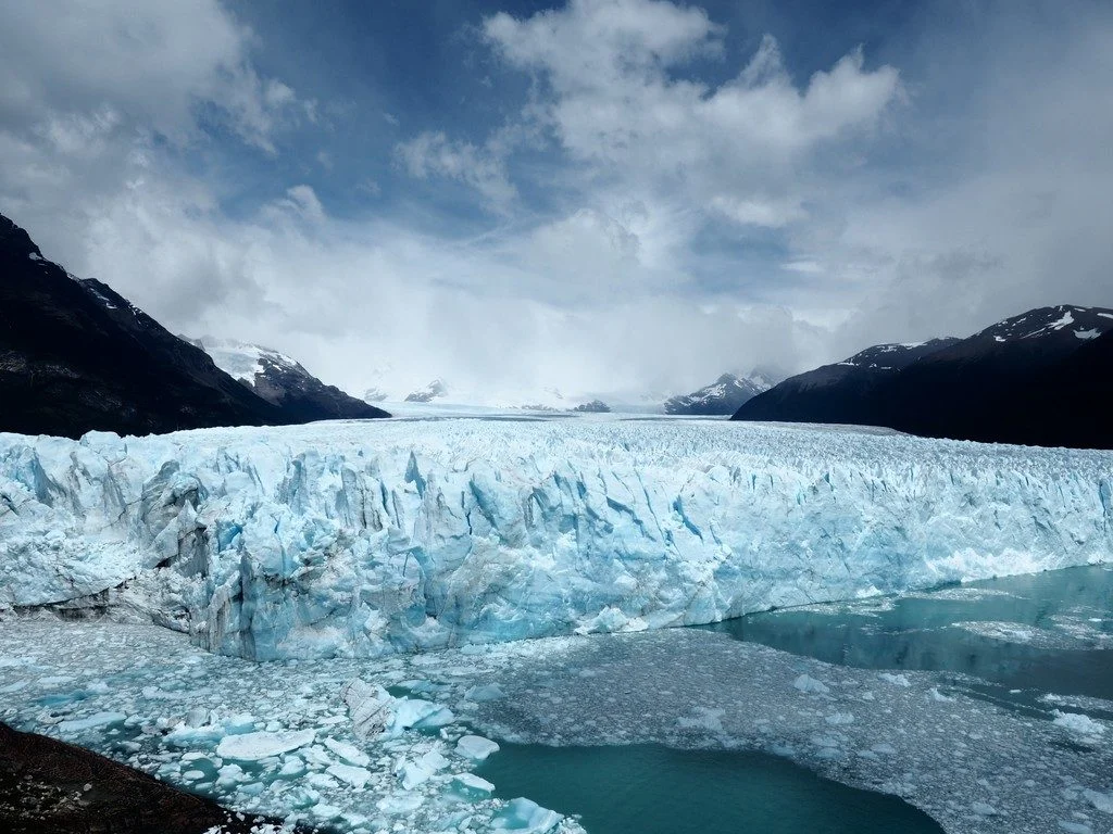
Imaggeo on Mondays: The glacier surviving climate change
Human impacts on the climate are nowadays clearly discernible, and the changes to our climate that previously happened in geologic time scales are currently happening during the span of a human lifetime. Our planet is warming and temperature today is now more than 1°C higher than it was in the pre-industrial world and rises by about 0.15-0.2°C on average each decade. The dramatic effects of this r ...[Read More]
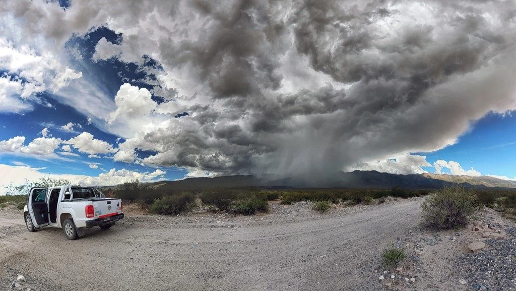
Imaggeo on Mondays: how short-term storms can impact our landscapes
In the Sierra de Aconquija, a mountain range in the southern Central Andes of Argentina, strong storms often come and go at a moment’s notice, but they can have a long-lasting impact on the Earth’s surface. The thunderstorm cell featured in this photo formed in less than half an hour, giving all those nearby only a few minutes to take cover. Mitch D’Arcy, a geomorphologist and postdoctoral researc ...[Read More]
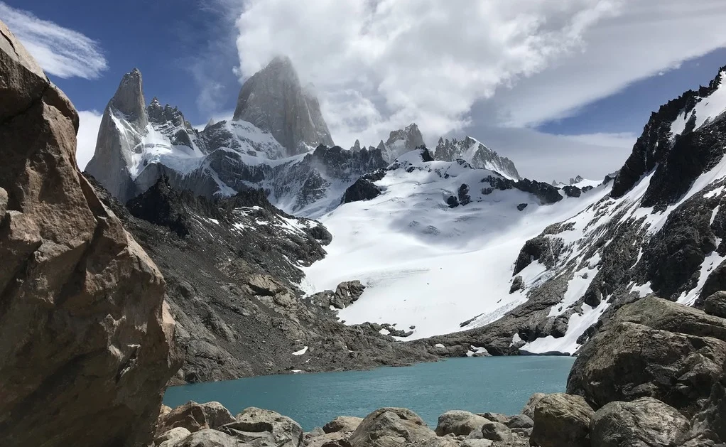
Imaggeo on Mondays: The changing landscape of Patagonia
Pictured here is a snapshot of an environment in transition. Today’s featured photo was taken at the foot of Monte Fitz Roy, a jagged Patagonia mountain located in Los Glaciares National Park on the border between Argentina and Chile. The Patagonia region in South America is the second biggest source of glaciers in the southern hemisphere, behind Antarctica, but the region is losing ice at a rapid ...[Read More]
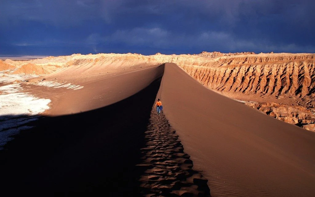
Imaggeo on Mondays: Cordillera de la Sal
The photograph shows the Valle de la Luna, part of the amazing Cordillera de la Sal mountain range in northern Chile. Rising only 200 metres above the basin of the Salar de Atacama salt flat, the ridges of the Cordillera de la Sal represent a strongly folded sequence of clastic sediments and evapourites (salt can be seen in the left portion of the image), with interspersed volcanic material. This ...[Read More]
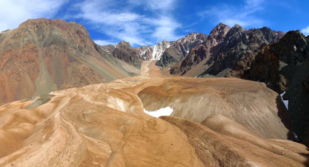
Imaggeo on Mondays: Sneaking up from above
Take some ice, mix in some rock, snow and maybe a little mud and the result is a rock glacier. Unlike ice glaciers (the ones we are most familiar with), rock glaciers have very little ice at the surface. Looking at today’s featured image, you’d be forgiven for thinking the Morenas Coloradas rock glacier wasn’t a glacier at all. But appearances can be misleading; as Jan Blöthe (a researcher at the ...[Read More]