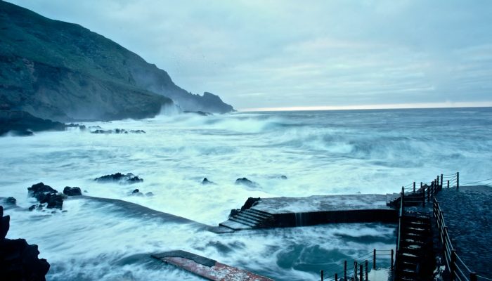
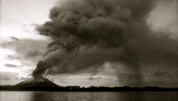
Volcanoes are undeniably home to some of the most beautiful landscapes on Earth. It doesn’t take much imagination to picture slopes of exceedingly fertile mineral rich soils, covered in lush vegetation; high peaks punching through cloud cover offering stunning vistas and bubbling pools of geothermally warmed waters were one can soak ones worries away. What about strikingly coloured crater lakes? Y ...[Read More]
Imaggeo on Mondays: A sunrise over Kelimutu’s three-colour lakes
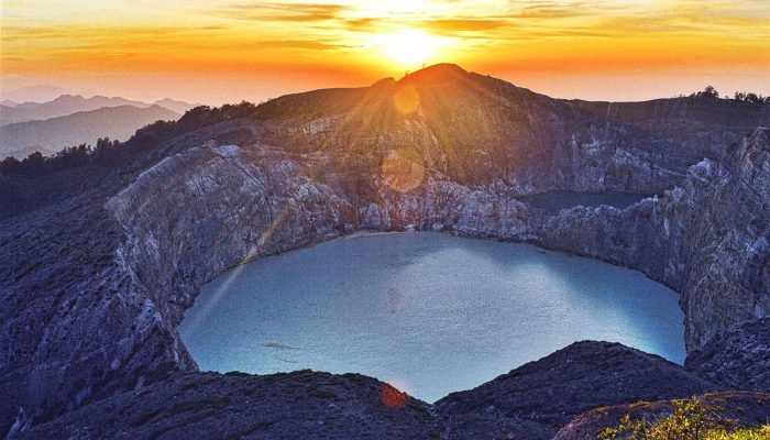
A Kelimutu sunrise . Credit: Danielle Su (distributed via imaggeo.egu.eu)