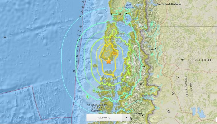
On Sunday the 13th November, New Zealand’s South Island was struck by a powerful 7.8 M earthquake. Initial analysis by the United States Geological Survey (USGS) indicates that the source of the tremor was faulting on or near the boundary between the Pacific and Australia plates. A tsunami alert (no longer active) was triggered following the earthquake, with risk of tsunami waves along coastal are ...[Read More]
Imaggeo on Mondays: recording the Earth’s magnetic field one grain at a time
The Earth’s magnetic field extends from the core of the planet, right out to space. It is an invisible, butterfly-like, shield which protects us against the harmful particles ejected by solar flares. In addition, it guards us from atmospheric erosion and water loss caused by solar wind. But how do scientists study the Earth’s magnetic field when it can’t be see? Much of what is known results from ...[Read More]
Celebrating Earth Science Week!
For those not so familiar with the Earth sciences, geosciences and all its subdisciplines might be shrouded in mystery: boring, unfathomable, out of reach and with little relevance to everyday life. Nothing could be further from the truth! Earth Science Week, an international annual celebration founded by the American Geosciences Institute in 1998, aims to change the public’s perception of the ge ...[Read More]
Imaggeo on Mondays: The road to nowhere – natural hazards in the Peloponnese
The Gulf of Corinth, in southern Greece, separates the Peloponnese peninsula from the continental mainland. The structural geology of the region is complex, largely defined by the subduction of the African Plate below the Eurasian Plate (a little to the south). The Gulf itself is an active extensional marine basin, i.e., one that is pulling open and where sediments accumulate. Sedimentary basins r ...[Read More]