Imaggeo, our open access image repository, is packed with beautiful images showcasing the best of the Earth, space and planetary sciences. Throughout the year we use the photographs submitted to the repository to illustrate our social media and blog posts. For the past few years we’ve celebrated the end of the year by rounding-up some of the best Imaggeo images. But it’s no easy task to pick which ...[Read More]
The best of Imaggeo in 2016: in pictures
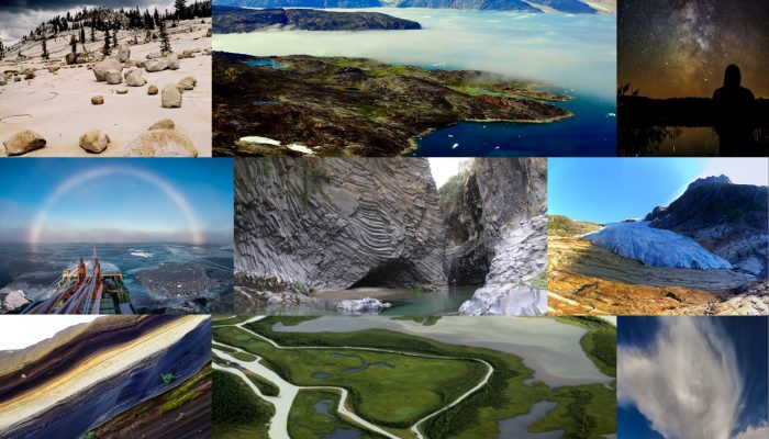
The best images of 2016, from imaggeo, as chosen by our readers and followers.
